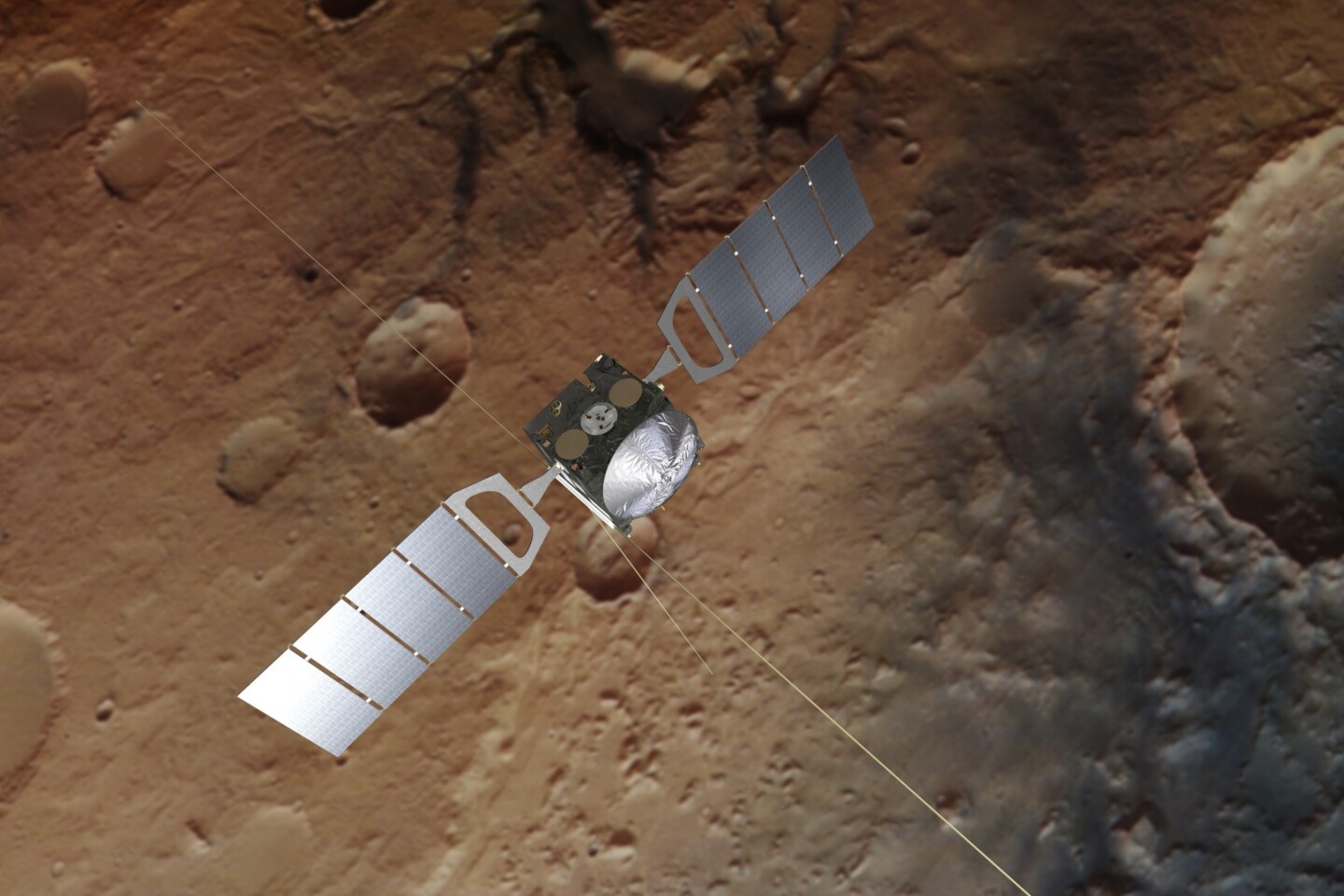
ESA has released new radar maps showing the lake buried under the south pole of Mars. The stripe-like images were produced by the agency's orbiting Mars Express spacecraft as its Mars Advanced Radar for Subsurface and Ionosphere Sounding instrument (MARSIS) probed down to depths of 1.5 km (1 mi) to show the presence of liquid water at the base of the Martian ice cap over a 20-km-wide (12.4-mi) area of the Planum Australe.
The new images are based on repeated radar scans taken by Mars Express between 2012 and 2015, which provided enough data to confirm the presence of the Martian polar lakes. According to ESA, water ice at the poles in the form of permafrost had been detected by Mars Express over its 15-year career orbiting the Red Planet, but it required repeating passes by the orbiting ground-penetrating radar to gain enough high-resolution data to confirm the presence of the polar lakes.
This is because the radar must penetrate water ice, carbon dioxide ice, and dust before being reflected back to produce the images where blue shows the strongest reflections. During this process the radio beam is altered by the materials it passes through, which allows it to determine what those materials are, but also makes analysis very complex and requiring large data sets.
"We'd seen hints of interesting subsurface features for years but we couldn't reproduce the result from orbit to orbit, because the sampling rates and resolution of our data was previously too low," says Andrea Cicchetti, MARSIS operations manager. "We had to come up with a new operating mode to bypass some onboard processing and trigger a higher sampling rate and thus improve the resolution of the footprint of our dataset: now we see things that simply were not possible before."
The Martian lakes have been compared to the discovery of Lake Vostok, which is a lake that sits 4 km (2.5 mi) under the Antarctic ice cap. The presence of microbes in this sealed ancient lake provides hope that similar life might be found in the Martian lake, though it is very likely heavy with salts and sediments that might make it more inhospitable.
"The long duration of Mars Express, and the exhausting effort made by the radar team to overcome many analytical challenges, enabled this much-awaited result, demonstrating that the mission and its payload still have a great science potential," says Dmitri Titov, ESA's Mars Express project scientist. "This thrilling discovery is a highlight for planetary science and will contribute to our understanding of the evolution of Mars, the history of water on our neighbor planet and its habitability."
The findings were published in the Science.
Source: ESA