Orbital data on Earth's soil moisture gathered by a NASA satellite is being used to improve the US Air Force's weather forecasting. Real-time information from the space agency's Soil Moisture Active Passive (SMAP) spacecraft is being sent to the Air Force's Air Force HQ 557th Weather Wing to improve weather forecasts, warnings and advisories that are more relevant to military operations in all theaters.
Most people are used to weather forecasts, but these are far from a one-size-fits-all situation. A forecast that is relevant to an urban commuter may not have the information that a sailor or a farmer might need, and the same is true for the military. According to NASA, one important factor for military weather forecasting is soil moisture, which can affect cloud formations through evaporation and condensation.
"We tend to be very focused on weather impacts, and some are unique compared to impacts for civilians," says Frank Ruggiero, the lead engineer for USAF's Numerical Weather Modeling program, run by Hanscom Air Force Base in Lexington, Massachusetts. "You, as a regular person, might want to know if it's mostly sunny or mostly cloudy so you'll know if it's a good beach day. But clouds affect the signal of a lot of the instrumentation we use, so we need detailed, 3D cloud depiction to know how much our signal is going to be affected."
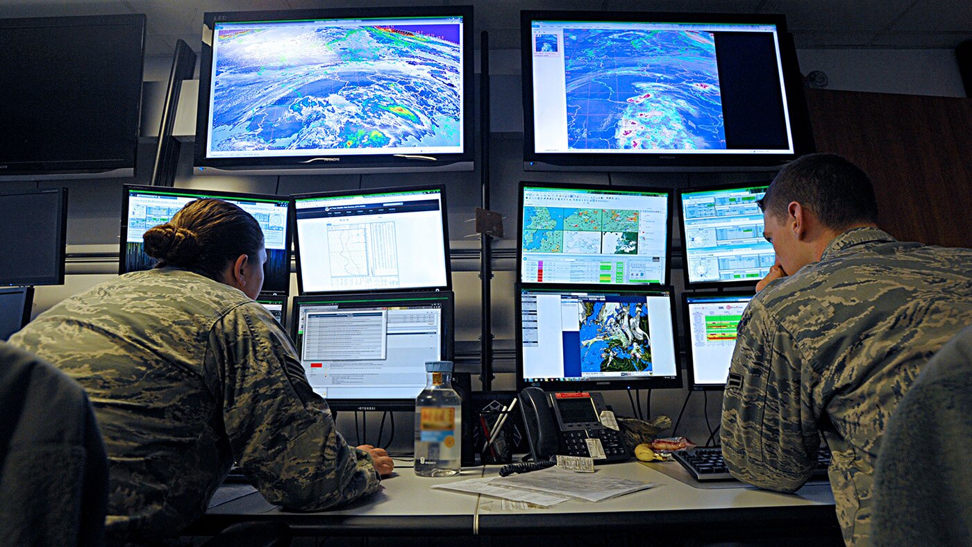
Measuring water in the top two inches (5 cm) of surface soil, the SMAP data has been flowing into the Air Force's computers since November 19, 2019. There it is being used within NASA's Land Information System (LIS) weather software. This employs advanced mathematical techniques to model the weather and climate and has been under development since 2005 in collaboration with the Air Force.
Until SMAP was launched in 2015, data from older satellites were used, but the new, higher-quality SMAP feeds have been credited with improving the models. However, NASA says that the new data isn't an example of enhanced civilian forecasting. Instead, it's based on the Unified Model developed by the UK Met Office and modified for military needs. It's already used by 10 other agencies, including those in the US, UK, Australia, and South Korea, but this is the first time SMAP data has been used in an operational, near-real-time environment.
"The developers of the Unified Model are in the process of adopting [NASA's Land Information System] as a result of this multi-agency collaboration," says Jerry Wegiel, a NASA Goddard support scientist stationed at Offutt Air Force Base. "It's currently under validation and verification, but they're going down the road of transferring this capability into their own operational suites in the future. The Air Force is providing value back to the Unified Model partnership."
Source: NASA