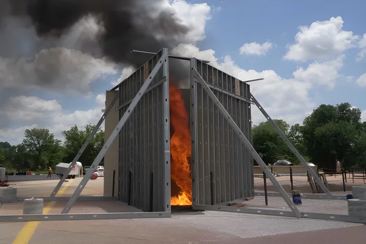
With current wildfires in Greece, Italy and North America, and Australia on an El Niño alert that could signal dryer conditions perfect for another grim summer of blazes, the race is on to develop better early response technologies and even ways to accurately predict outbreaks. The best chance of containing wildfires is through an early response, which is what new models that combine constant surveillance with artificial intelligence hope to bring to the fight.
Pano AI, which keeps watch over 2.4 million hectares (6.2 acres) of land in California, Colorado, Oregon, Washington, Idaho and Montana, has become the leading AI startup targeting wildfires and is now expanding its cover in Australia to create the largest blaze-detecting network in the country.
The technology works by detecting a fire threat in real time, assessing threats and alerting response teams, providing comprehensive data that can save time and potentially be the difference between containment and catastrophe.
Cameras that can scan 360 degrees are deployed on high vantage spots and constantly surveil the landscape looking for telltale smoke. The cameras, which can track up to 10 miles (16 km) in all directions, capture high-definition footage and use deep learning to identify fires, triage their threat, pinpoint their location and gather more information about likely travel speed and direction of spread.

“Our team at Pano is made up of former fire professionals as well as world class technologists who have come together to build the best possible tools for first responders,” said Arvind Satyam, Chief Commercial Officer and a founding member of Pano AI, which has announced 14 new surveillance posts to monitor the Green Triangle, a rugged area of bushland across south-east Australia.
Studies have increasingly looked at how to harness AI, along with cloud and satellite data, to minimize the time between identifying a threat and mobilizing firefighting teams. Other startups such as Firestory are using cloud-based data and AI to help predict potential danger zones for wildfires.
In 2022, the World Economic Forum spearheaded the FireAid pilot program in Türkiye, which used AI and machine learning algorithms to predict fire outbreaks. It resulted in an 80% success rate of accurately forecasting where fires would occur 24 hours ahead of time, giving authorities time to respond proactively.
Camera surveillance and AI is also playing a role in fire recovery strategies, helping scientists understand how nature and wildlife rebuilds after devastating blazes.

The global cost of wildfires is estimated to be US$50 billion each year. In 2021, fires released around 6,450 megatonnes of CO2 into the atmosphere. In 2019-2020, three billion animals perished or lost their homes in the Australian summer fires.
The US has experienced 1.5 million wildfires since 2000. As of June 1, 2023, 18,300 blazes have impacted 511,000 acres this year alone.
Sources: Pano AI, Government of South Australia