Environment

460-km-long river discovered snaking though base of Antarctic ice sheet

460-km-long river discovered snaking though base of Antarctic ice sheet
Scientists have discovered evidence of a 460-km-long river snaking its way through the base of the Antarctic ice sheet
View 2 Images
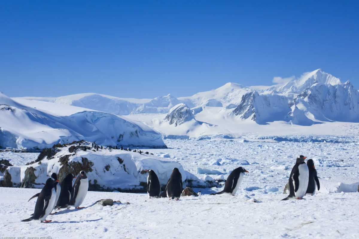
A newly discovered river system may be accelerating the melt rate of the Antarctic ice sheet
1/2
A newly discovered river system may be accelerating the melt rate of the Antarctic ice sheet
Scientists have discovered evidence of a 460-km-long river snaking its way through the base of the Antarctic ice sheet
2/2
Scientists have discovered evidence of a 460-km-long river snaking its way through the base of the Antarctic ice sheet

Among the many mechanisms shaping the Antarctic ice sheet are the processes playing out in its lower layers, and a newly discovered sub-glacial river suggests it may drain away faster than we thought. Scientists say the 460-km-long (285-mile) river shows the base of the ice sheet features more flowing water than we realized, which may accelerate its melting as the planet continues to warm.

The depths of a massive ice sheet are inherently difficult places to study and explore, but over the past decade scientists have begun to paint a picture of the low-lying channels of water that connect subglacial lakes in Antarctica. Earlier this year, researchers were able to directly survey an Antarctic under-ice river for the first time, drilling into the ice sheet to get a glimpse of a narrow stream far below.

“When we first discovered lakes beneath the Antarctic ice a couple of decades ago, we thought they were isolated from each other,” said co-author of the new study, Professor Martin Siegert from Imperial College London. “Now we are starting to understand there are whole systems down there, interconnected by vast river networks, just as they might be if there weren’t thousands of meters of ice on top of them.”

Siegert and his co-authors made the new discovery through modeling of the ice sheet hydrology and airborne radar surveys that reveal its underlying layers. The observations revealed a river snaking its way through the ice sheet and exiting into the sea at specific locations, beneath the floating ice shelf that juts out from the land.
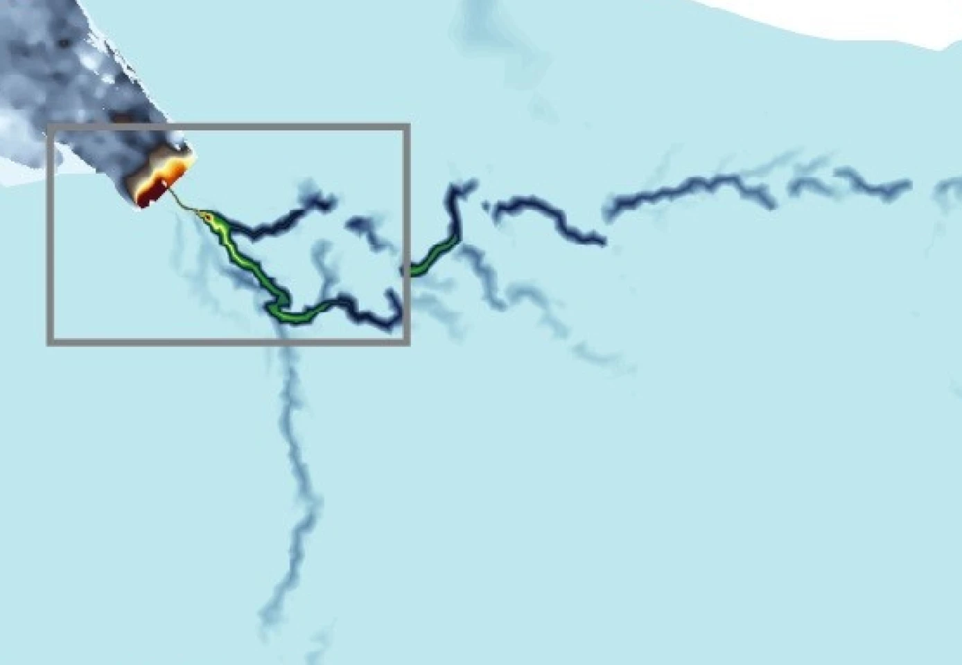
A newly discovered river system may be accelerating the melt rate of the Antarctic ice sheet

In doing so, the river transports huge amounts of freshwater through the base of the ice sheet at high pressure, which the scientists believe may be lubricating the sheet and boosting the flow of ice into the sea.

“From satellite measurements we know which regions of Antarctica are losing ice, and how much, but we don’t necessarily know why,” said study author Dr Christine Dow from the University of Waterloo. “This discovery could be a missing link in our models. We could be hugely underestimating how quickly the system will melt by not accounting for the influence of these river systems. Only by knowing why ice is being lost can we make models and predictions of how the ice will react in the future under further global heating, and how much this could raise global sea levels.”

The scientists also point to the potential for feedback loops that could speed up the loss of ice even further. This could mean that as water accumulates and the ice travels faster over dry land, it may increase friction that in turn boosts basal melting. And the cycle would continue.

“Previous studies have looked at the interaction between the edges of ice sheets and ocean water to determine what melting looks like," said co-author Dr Neil Ross, from the University of Newcastle. "However, the discovery of a river that reaches hundreds of kilometers inland driving some of these processes shows that we cannot understand the ice melt fully without considering the whole system: ice sheet, ocean, and freshwater.”

The research was published in the journal Nature Geoscience

Source: Imperial College London

8 comments
8 comments
David F
Is this the same part of Antarctica that is being heated from below by a mantel plume?
vince
Great to know much of mankind will be swallowed up by the seas in a few centuries. hopefully some new species will evolve from the ashes which the human race doesn't deserve to inherit the Earth with it's biased, angry, stupid violent ways.
notarichman
could the removal of water/ice cause and uplift below and thus a mantel plume like David F suggests? cracking from less weight on the crust might be allowing heat to melt the ice.
vince
What about pumping/piping clean ice water melt to places that need water. Its already been desalinated so no need for costly electrolysis?
vince
So divert those clean salt free water streams to enormous tankers and deliver water to places that need water? Its free for the taking. And diverting melt to land prohibits rising seas.
vince
They should find the outlet for this fresh water melt and pump it into 2 million barrel tankers and ship to where it's needed. Less fresh water into the seas means less sea rise too. so it's a win win. And those tanker ships should be power solely from the wind and sun and just go slow to destinations using free clean sun power.
TpPa
Biggest waste of fresh water is any water heading to a sewage treatment center, we need with a capitol NEED to find a way to treat that once fresh drinking water back into fresh drinking water with ALL of the chemicals & metals etc. removed. We take our precious drinking water and literally flush it down the drain, and it ends up getting released into oceans, or rivers that carry it to oceans and is lost to use as a drinking source. OK agriculture uses a lot more water than house holds, and they need to apply it in a less wasteful manner, but what they use goes back into the landmass not the ocean's, so it evaporates some turning into rain somewhere, and the rest not used by the plants eventually refills aquafers.
Jinpa
How are these rivers tracked and mapped? Dyes? Aquatic robots? With radio or transponder tracking? Finding outlets and going upstream shouldn't be dangerous. Finding an access and going downstream could end up at a venturi from which an explorer couldn't retreat. It's a problem in cave exploration.