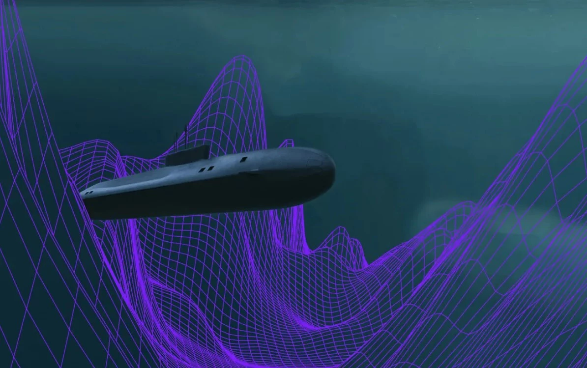
Using very small atoms to guide very large submarines, Q-CTRL has been awarded a contract by the Australian Department of Defence to develop quantum mechanics systems for the AUKUS treaty partners to navigate subs on long underwater missions.
The single greatest strength of the submarine is its stealth. Once submerged, detecting a modern military submarine is extremely difficult. This not only makes such boats great weapons of war, but also weapons of peace because submarines can be dispatched into unstable areas as a show of force without being a direct provocation. In fact, they don't even need to be sent at all to have the same effect.
However, this capability comes at a price. One of these is that submarines are much more difficult to navigate than surface ships. Once under the waves, they are cut off from GPS signals and taking sights on the sun or stars, so the Captain is reduced to dead reckoning using gyrocompasses and inertial guidance systems that automatically calculate the boat's course and position by measuring how it turns and accelerates along all three axes.
It's a system that works and is used on all modern submarines, but it is also very limited. Over time, the guidance system accumulates errors and the vessel goes farther and farther off course until it can be miles from where it should be. This means that the submarine must occasionally come up to periscope depth to get a navigational fix, which also makes it vulnerable to detection.
In an effort to overcome this, Q-CTRL is developing a system that uses quantum sensors to do more accurately what inertial guidance systems currently do. It exploits what is known as quantum sensing, which takes advantage of the peculiar properties of quantum mechanics, including quantum entanglement, quantum interference, and quantum state squeezing.
Reduced to a simple level, this means that a quantum navigation system can use the motions of a single atom to precisely determine the course and position of a submarine and maintain accuracy to a remarkable degree. According to Q-CTRL, it's possible for such a system to calculate the position of a submerged boat within a mile (1.6 km) for every 1,000 hours of underwater running.
One key factor to this is a concept called software ruggedness. A drawback of quantum sensing is that it is very vulnerable to interference, which can introduce a great deal of noise into the calculations, reducing reliability. But applying a special software analysis, the system can be programmed to seek out target signals and reject the interference.
Since this technology is being developed under the AUKUS treaty, it will be not only used by Australia, but shared with the United States and Britain.
"From day one we knew that our specialized expertise in quantum control could unlock totally new applications of quantum technology," said Q-CTRL CEO and Founder Prof. Michael J. Biercuk. "We’ve shown we can boost the performance of quantum computers and quantum sensors by orders of magnitude – entirely through software. Now we’re pleased to be applying these capabilities to a critical defense mission for Australia."
Source: Q-CTRL


