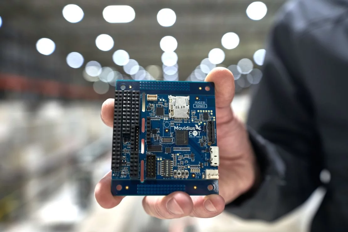
ESA plans to launch the first Earth observation satellite incorporating artificial intelligence (AI) in a few months. The ɸ-Sat (PhiSat) system will be installed in one of the two CubeSats of the FSSCat mission and will be used to select which images should be sent back to Earth for further analysis.
Why is it that in the 1960s, the Soviet and American militaries were keen on setting up orbital laboratories but the US lost interest before it launched its first, yet the Soviets launched and operated a string of these right into the 1990s?
The answer is that both the superpowers recognized that space was the ultimate high ground and were keen on using it to spy on one another. Unfortunately, there is one problem with taking pictures of the Earth. It's cloudy a lot of the time. This makes orbital reconnaissance inefficient, so the Americans and the Soviets wanted stations with crews on them who could decide when to take pictures, develop them, and then send the right ones back to Earth.
By the late 1960s, the Americans developed an increasingly sophisticated imaging technology, so they abandoned their space lab plans, while the Soviets, who were a bit behind, had to keep using manned space stations for military reconnaissance right up until the collapse of the USSR.
Today, with CubeSats becoming increasingly common and the development of sophisticated hyperspectral cameras, the need to produce systems that are compact, yet can make the most of available bandwidth, make AI with its pattern recognition abilities very attractive.

The top winner of the 2017 Copernicus Masters competition, the Universitat Politècnica de Catalunya's FSSCat consists of two shoebox-sized satellites that are equipped with dual microwave and hyper-spectral optical instruments, as well as inter-satellite communication technology experiments. Rather than spying, the satellites are designed to complement the Sentinel fleet and provide data on Earth’s ice and soil moisture content.
According to ESA, one of the FSSCat CubeSats will carry a hyperspectral camera. Because it will collect a large number of images, the ɸ-Sat artificial intelligence chip will sort them and only send back to Earth the ones that meet the proper criteria.
"While compact, the instrument – which covers the visible and near infrared with hyperspectral capability, enhanced with bands in the thermal infrared – is very powerful and will acquire terabytes of data that can be used to monitor vegetation changes and to assess water quality, for example," says Marco Esposito, of cosine Remote Sensing, the company that led the development of the ɸ-Sat algorithm. “However, generating this amount of data actually poses a problem, as the data have to be handled efficiently so that they can reach the users in a timely manner. With ɸ-Sat we have effectively given the instrument its own brain, which processes the data onboard to detect clouds in the images. This not only ensures better quality data, but makes the delivery much more efficient."
The video below discusses ɸ-Sat.
Source: ESA


