Satellite Navigation
-
We naturally pick up microorganisms as we move about the world. Now, researchers have developed an AI tool that accurately links you to a particular location using a sample of the bugs you’ve collected on your travels – like a bacterial satellite navigation system.
-
The most abundant metal known to man is iron. It's everywhere. Not just on Earth, but in space as well. Astro engineers have just figured out how to use iron – or nearly any metal for that matter – as plasma rocket fuel.
-
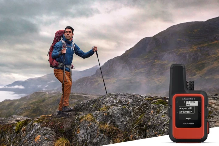
In 2018, Garmin launched the ultralight inReach Mini two-way emergency communicator. Now it updates the tiny, satellite-based survival tool into the all-new Mini 2, a palm-sized device with more power for saving your bacon in the backcountry.
-
ESA plans to use its upcoming Lunar Pathfinder mission to experiment with expanding sat nav coverage to the Moon. By tuning in to the Galileo and GPS satellite constellations, the goal is to provide more precise fixes for spacecraft in lunar orbit.
-
China has reached an enormous milestone with the successful testing and commissioning of the 55th and final satellite in its BeiDou-3 global positioning system, a competitor to the American GPS system with the capability to send short messages.
-
The Global Position System (GPS) has turned 25 years old. Operated by the US Space Force, the constellation of navigational satellites went fully operational on April 27, 1995, though US Space Command made the formal announcement in July of that year.
-
In-car satnav systems and mobile mapping apps have made it much easier to travel from one place to another without getting lost, but a new innovation promises to help fix a remaining pain point – getting in the right lane at intersections.
-
In order for AR systems to recognize locations from a user's ground-level perspective, they first have to be "trained" using ground-level images of those same places. Sturfee's City AR system, however, works quicker by utilizing satellite photos.
-
Talking to a Garmin navigator has already been possible for a few years now, but the company's latest device will allow drivers to ask Amazon's Alexa to stream audiobooks, podcasts and music through the vehicle's sound system, as well as get the navigation system to serve up turn-by-turn directions.
-
The TomTom VIO is designed to help give scooter owners the type of satellite navigation capability that previously was only available to car, truck and motorcycle owners with what is claimed to be the world’s first smartphone-connected device.
-
A collaborative team of ESA and University of Nottingham (UK) researchers has used satnav sensors to monitor small movements in the Forth Road Bridge in Scotland, providing real-time information to help make the decision whether to close the bridge during extreme weather conditions.
-
Johan Löfgren and Rüdiger Haas of Chalmers University in Sweden have developed a new way of measuring sea level that uses satnav signals for constant, real-time monitoring that promises new insights into many fields, including climate change.
Load More


