These days, most people are inseparable from their mobile phone, with the device being one of the essentials along with keys and cash or cards that people don't leave home without. A project at EPFL's Mobile Communications Laboratory is looking to take advantage of this fact by developing a drone that would help rescuers search for victims of natural disasters by locating their phones.
When a mobile phone's Wi-Fi is switched on, the device emits data packets at regular intervals. The strength of these signals can vary depending on the surrounding terrain, the weather, interference, or if the device is buried under a layer of rubble as the result of an earthquake or other natural disaster.
Taken in isolation, with all these variables it isn't possible to accurately calculate the location of the device that is emitting the signals. However, by capturing the signals from several different points it becomes possible to calculate the device's approximate location. This is where the drone comes in.
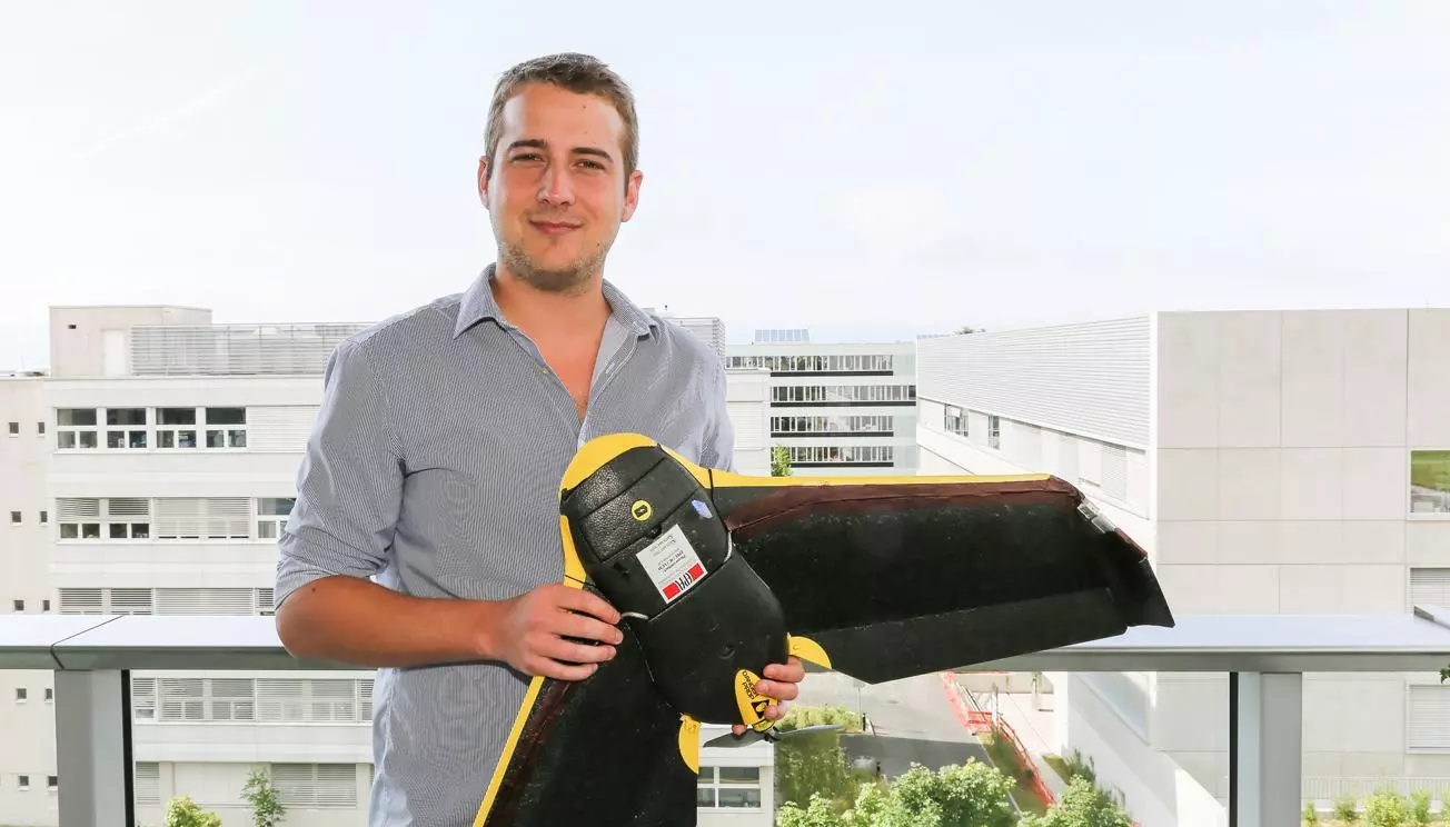
Using a Wi-Fi antenna attached to what appears to be a senseFly eBee UAV, it is possible to capture the signal as the drone flies between different points to better map the location of the device and, hopefully, the person it belongs to.
Cheseaux, who worked on the project for his master's degree, says that automatically eliminating weaker signals from the calculations has helped to improve the accuracy of the system, which has been able to locate mobile phones on the EPFL campus with a high degree of accuracy.

"In the best tests we have performed, the place indicated was within 10 m (33 ft)," says Cheseaux, who, being an amateur mountaineer, added, "The drone’s Wi-Fi antenna could be replaced by Avalanche Victim Detectors (DVA) which would enable the rapid and inexpensive deployment of the first avalanche searches."
The project also involved the development an interface that allows those on the ground to track the aircraft in real time. Detected mobile phones are indicated by colored dots on a computer display, with the drone also tightening its flight around a selected device to indicate its position.
The system can be seen in action in the following video.
Source: EPFL