Mapping the inside of cramped, difficult-to-reach areas can be helpful to people such as plant operators, but drones flown in such places could easily crash. The LiDAR- and cage-equipped Elios 3 quadcopter was designed with that challenge in mind.
We first heard about the technology behind the Elios line of drones back in 2013, when a prototype was unveiled by engineers from Switzerland's EPFL research institute. Commercialized by spinoff company Flyability, Elios quadcopters have since been put to a number of interesting uses, including the exploration of ice caves in Greenland.
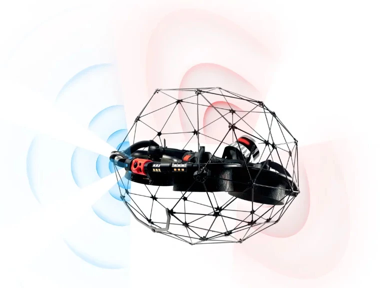
Like its predecessors, the Elios 3 incorporates a carbon-fiber-strut cage around its body, which protects the drone in the event that it crashes into something. For that matter, the cage also protects the things – potentially including people – which the drone may crash into.
The big new feature on this version is an Ouster OS0-32 LiDAR sensor. Combined with onboard SLAM-based FlyAware mapping software, this device allows the drone to create and record three-dimensional computer models of its surroundings in real time.
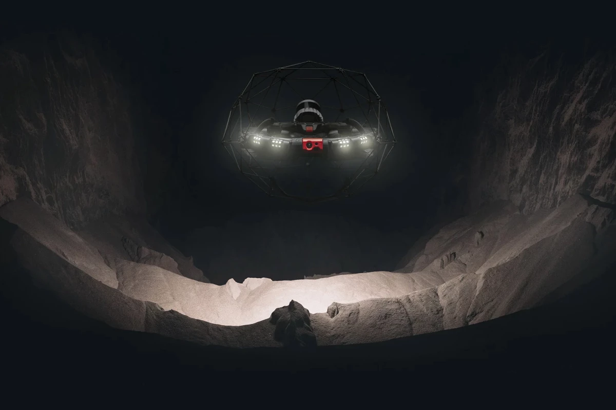
The LiDAR sensor and the software also help stabilize the Elios 3 while it's in flight, with a little help from its three cameras – these include a thermal camera, a distance sensor, and a 4K optical camera. The latter transmits live video to the operator, and is assisted in dim conditions by a bank of LED spotlights which put out a combined 16,000 lumens.

One charge of the lithium battery should reportedly be good for 12.5 minutes of flight time. The whole drone is IP44 waterproof, meaning it's protected against water splashing from all directions.
Pricing is available to potential buyers on request. More of the Elios 3's features are outlined in the video below.
Source: Flyability


