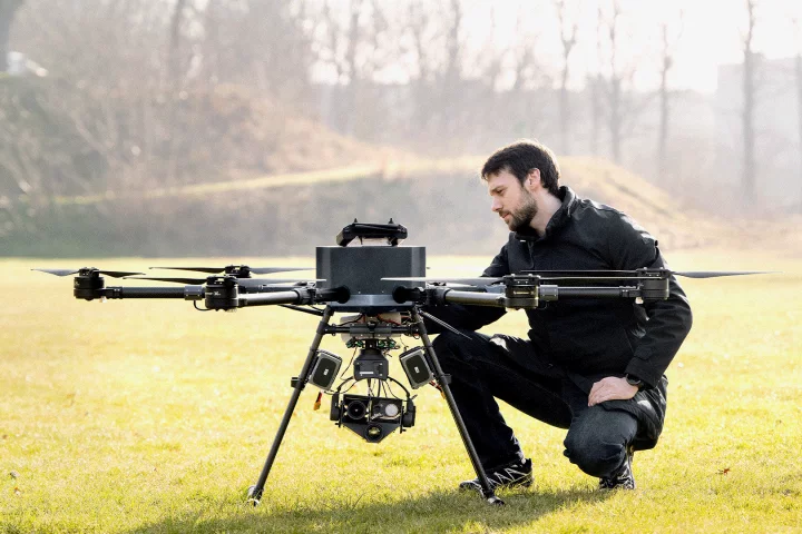
When it comes to precisely locating landing pads or other landmarks, autonomous drones rely largely on visual cues. So, what happens if it's dark, rainy or foggy, and there's no ground-based power for lights? Well, that's where the Millisign system is intended to come in.
Developed by scientists from Japan's NTT Corporation and The University of Tokyo, Millisign incorporates large versions of the RFID (radio frequency identification) tags that are currently used on a variety of products.
In a typical RFID system, the battery-less tag gets temporarily powered up by a radio signal emitted from a handheld RFID reader. The tag then utilizes an integrated antenna to relay a modified version of the signal back to the reader, containing information such as the type of product, date of manufacture, or whatnot.
In Millisign, a small drone-mounted millimeter wave radar unit takes the place of the handheld reader. When one of the big landing-pad-based tags receives a radio signal from that unit, it transmits a response signal back to the drone. That response indicates the tag's/pad's location relative to the drone, so the aircraft can locate it even without being able to see it – the more intense the received signal, the closer the drone is to its target.

Importantly, the Millisign tags incorporate corner reflectors which allow them to send and receive signals over a wide three-dimensional angle. In the current version of the system, a 292 x 600-mm (11.5 x 23.6-in) tag can be read by an airborne drone from a distance of 10 to 15 meters (33 to 49 ft). By contrast, because traditional RFID tags just utilize a flat antenna, they have a much shorter and narrower range.
All of that being said, though, couldn't the drones just utilize GPS?
"When considering a landing scenario using GPS, obtaining relative positions requires two GPS modules on a UAV [unmanned aerial vehicle] and a landing port, respectively, and a communication channel between them, resulting in a large installation and maintenance cost," NTT research engineer Tatsuya Iizuka told us.
"On the other hand, our system only requires the installation of a battery-less tag for the landing ports, which is feasible for various UAV missions in locations with high access costs, such as urban high-altitude buildings, marine and mountainous regions."
The Millisign system is described further in the video below.
Source: NTT