Marine debris is a huge problem, both when it's floating at sea and when it gets washed up on the shore. In order to locate the latter for removal, scientists are now developing artificially intelligent drones which will spot human-made beach trash from the air.
The research project began in June 2020, and runs through to the end of this May. It's being led by researchers from Oregon State University, along with the National Oceanic and Atmospheric Administration (NOAA)'s National Centers for Coastal Ocean Science.
Team members started by using a polarimetric camera – which images electromagnetic waves – to record video of both natural and human-made objects on the shore of Corpus Christi, Texas. The footage was shot on the ground and from a US Coast Guard helicopter, which was flying at the altitude at which the polarimetric-camera-equipped drones will fly.
That video was used to develop machine-learning-based algorithms, which are able to spot and classify synthetic-material objects based on the distinctive manner in which they reflect polarized light. Natural objects, such as rocks and vegetation, reflect polarized light in a different fashion.
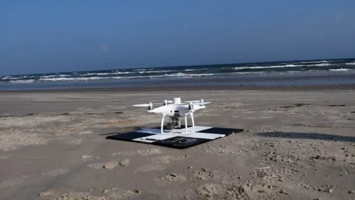
The idea is that the drones will ultimately be able to fly along stretches of coastline, autonomously detecting and mapping the locations of washed-up litter as they do so. Human workers will then use that data to see where the greatest amounts of debris are located, so they can concentrate their removal efforts in those places.
Plans call for NOAA Marine Debris Program staff to be trained in the operation of the system this summer (Northern Hemisphere), as soon as it's fully ready to go. It has already been tested along the coast of Oregon.
And as far as the spotting of floating marine debris goes … well, researchers at the University of Barcelona have developed an AI-based system which allows drones to do that, too.