
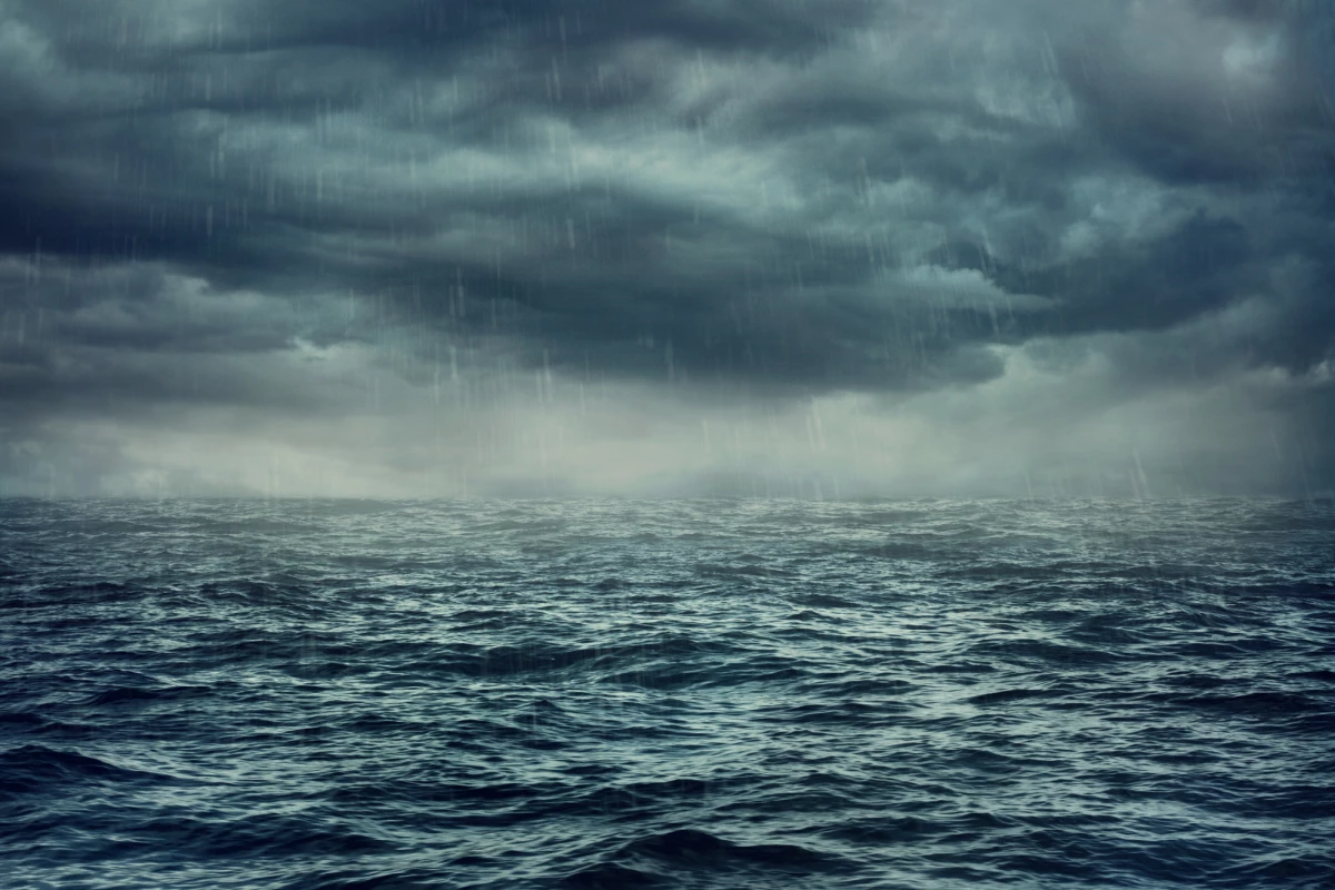
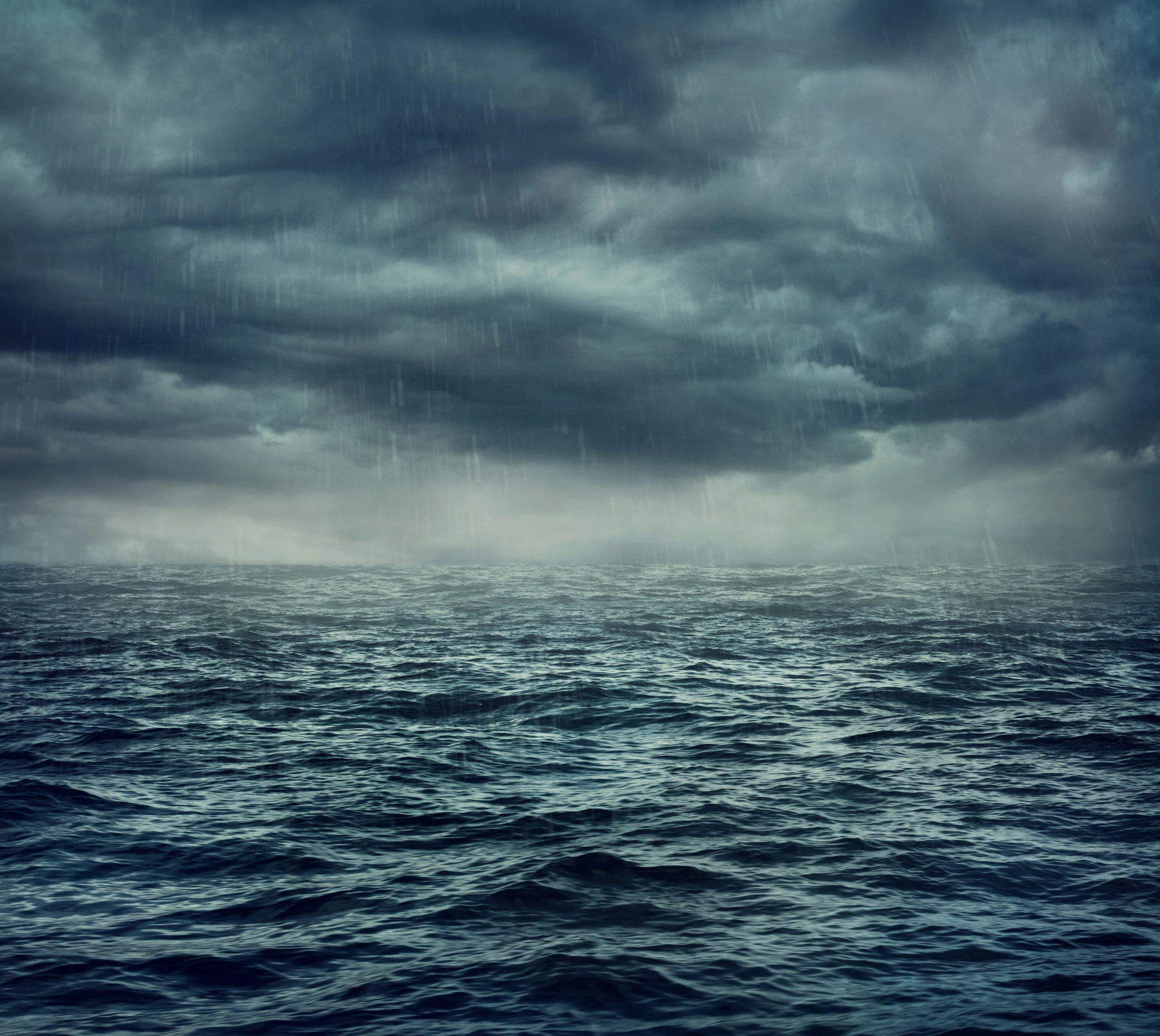

A new type of storm has been discovered in the skies over the Indian Ocean. Named “atmospheric lakes,” these events are slow-moving pools of concentrated water vapor that can last for days.
Atmospheric scientists Brian Mapes and Wei-Ming Tsai made the discovery while studying weather patterns over the Indian Ocean, a region they say doesn’t attract a lot of attention from meteorologists. The team specifically examined rain and water vapor patterns occurring on a day-to-day scale.
The new structures are related to atmospheric rivers, a well-studied and common phenomenon involving long, thin plumes of concentrated moisture that can stretch for thousands of kilometers. These fast-moving rivers can carry a huge amount of water, dumping it in a band of rain in their wake.
Atmospheric lakes start as rivers, the team says, but at a certain point they pinch off, forming an isolated, concentrated mass of water vapor. These lakes then drift very slowly across the sky, in areas where the wind speed is around zero. They can bring a lot of rain to the surface below – if the “lake” moniker was taken literally, the team says that they hold enough water to form a puddle a few centimeters deep and about 1,000 km (620 miles) wide.
The team studied five years of satellite data of the Indian Ocean, and identified 17 atmospheric lakes that lasted longer than six days. They occurred in all seasons, and usually within 10 degrees of the equator. The researchers say that they can occur further from the equator as well, and these storms sometimes turn into tropical cyclones.
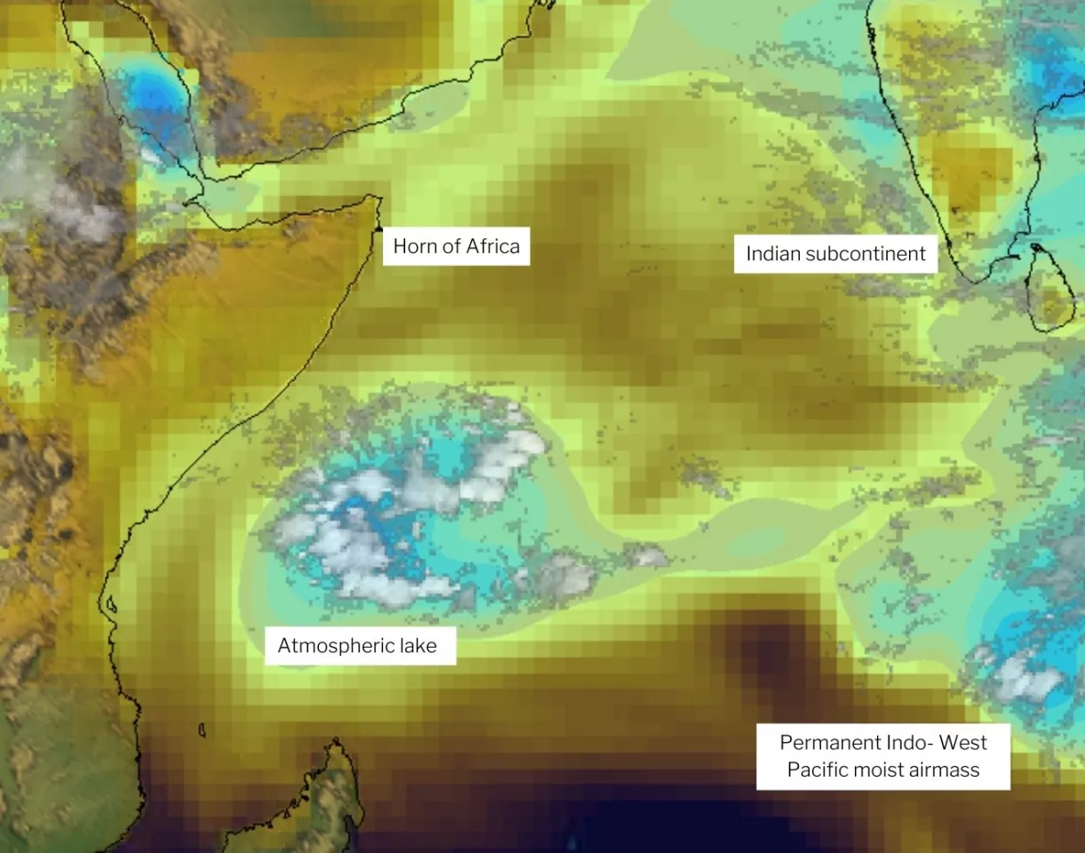
Atmospheric lakes tended to form out of water vapor streams flowing in from the Indo-Pacific region, then drift slowly to the west until they reach the eastern coast of Africa. In doing so, they can bring quite a lot of rain to these areas.
“It’s a place that’s dry on average, so when these [atmospheric lakes] happen, they’re surely very consequential,” says Mapes. “I look forward to learning more local knowledge about them, in this area with a venerable and fascinating nautical history where observant sailors coined the word monsoon for wind patterns, and surely noticed these occasional rainstorms, too.”
The team plans to study these atmospheric lakes further, to determine if they can occur in other parts of the world and how they might be affected by climate change.
The research was presented at AGU’s Fall Meeting 2021 this week.
Source: AGU


