Environment

First Earth Fire Alliance satellite for detecting wildfires is now in orbit

First Earth Fire Alliance satellite for detecting wildfires is now in orbit
Wildfires can erupt faster than current systems can detect them – and do immense damage if they're not tackled soon after they start
View 3 Images
Wildfires can erupt faster than current systems can detect them – and do immense damage if they're not tackled soon after they start
1/3
Wildfires can erupt faster than current systems can detect them – and do immense damage if they're not tackled soon after they start
The FireSat constellation will see more than 50 satellites in orbit by 2030, each fitted with cameras designed to capture images suitable for machine learning algortihms to identify wildfires
2/3
The FireSat constellation will see more than 50 satellites in orbit by 2030, each fitted with cameras designed to capture images suitable for machine learning algortihms to identify wildfires
The wildfires that devastated Los Angeles in January are estimated to have caused more than $250 billion in damages
3/3
The wildfires that devastated Los Angeles in January are estimated to have caused more than $250 billion in damages
View gallery - 3 images

The first satellite in a constellation designed specifically to locate wildfires early and precisely anywhere on the planet has now reached Earth's orbit, and it could forever change how we tackle unplanned infernos.

The FireSat constellation, which will consist of more than 50 satellites when it goes live, is the first of its kind that's purpose-built to detect and track fires. It's an initiative launched by nonprofit Earth Fire Alliance, which includes Google and Silicon Valley-based space services startup Muon Space as partners, among others.

According to Google, current satellite systems rely on low-resolution imagery and cover a particular area only once every 12 hours to spot significantly large wildfires spanning a couple of acres. FireSat, on the other hand, will be able to detect wildfires as small as 270 sq ft (25 sq m) – the size of a classroom – and deliver high-resolution visual updates every 20 minutes.

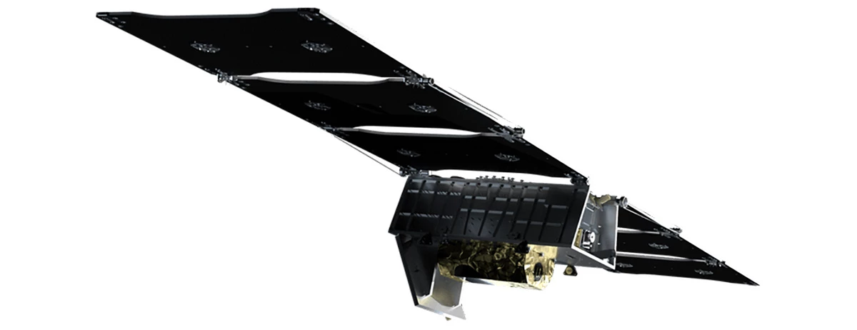
The FireSat project has only been in the works for less than a year and a half. The satellites are fitted with custom six-band multispectral infrared cameras, designed to capture imagery suitable for machine learning algorithms to accurately identify wildfires – differentiating them from misleading objects like smokestacks.

The FireSat constellation will see more than 50 satellites in orbit by 2030, each fitted with cameras designed to capture images suitable for machine learning algortihms to identify wildfires

These algorithms look at an image from a particular location, and compare it with the last 1,000 times it was captured by the satellite's camera to determine if what it's seeing is indeed a wildfire. AI technology in the FireSat system also helps predict how a fire might spread; that can help firefighters make better decisions about how to control the flames safely and effectively.

Can AI help firefighters manage wildfires? | FireSat

This could go a long way towards preventing the immense destruction of forest habitats and urban areas, and the displacement of residents caused by wildfires each year. For reference, the deadly wildfires that raged across Los Angeles in January were estimated to have cuased more than $250 billion in damages.

The wildfires that devastated Los Angeles in January are estimated to have caused more than $250 billion in damages

Muon is currently developing three more satellites, which are set to launch next year. The entire constellation should be in orbit by 2030.

The FireSat effort isn't the only project to watch for wildfires from orbit. OroraTech launched its first wildfire-detection satellite – FOREST-1 – in 2022, followed by one more in 2023 and another earlier this year. The company tells us that another eight are due to go up toward the end of March.

Source: The Keyword (Google)

View gallery - 3 images
3 comments
3 comments
Deres
Not clear who will pay for the service in the end. Do they hope government agencies all over the world will ?
ChairmanLMAO
DEW what thou wilt shall be the hole of the law!
ljaques
I see fire starts and lightning strikes shown on the current wildfire maps out west here. Let's hope the system works 10x better than current sats and that it quickly pays for itself in fast fire shutdowns and less loss of firefighter lives.