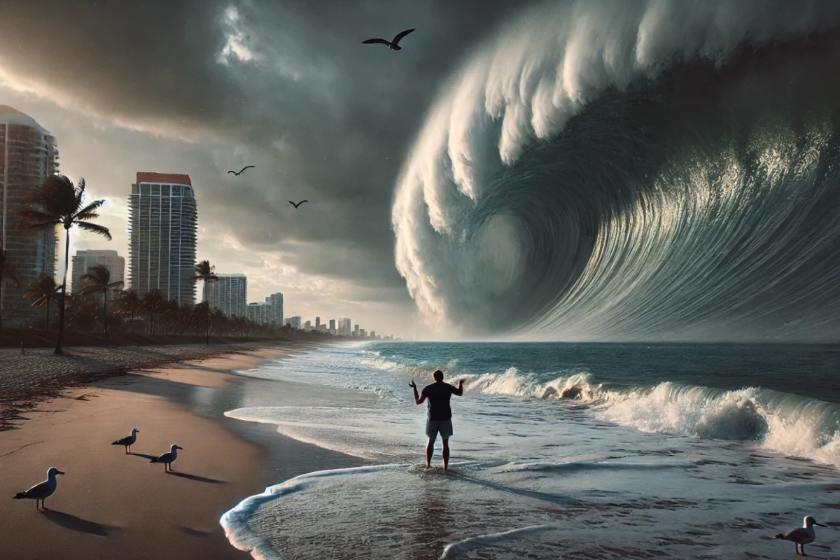
Polar icecap melt has been towards the top of the worry list of the climate-conscious for years. Ocean levels have risen an inch and a half (3.8 cm) in the last decade alone as tens of trillions of gallons of freshwater melt into the oceans each year. Scientists have recently warned that melt might be just one of our concerns as megatsunami waves can give 330-ft-plus (100-m-plus) rise to the ocean in a matter of minutes.
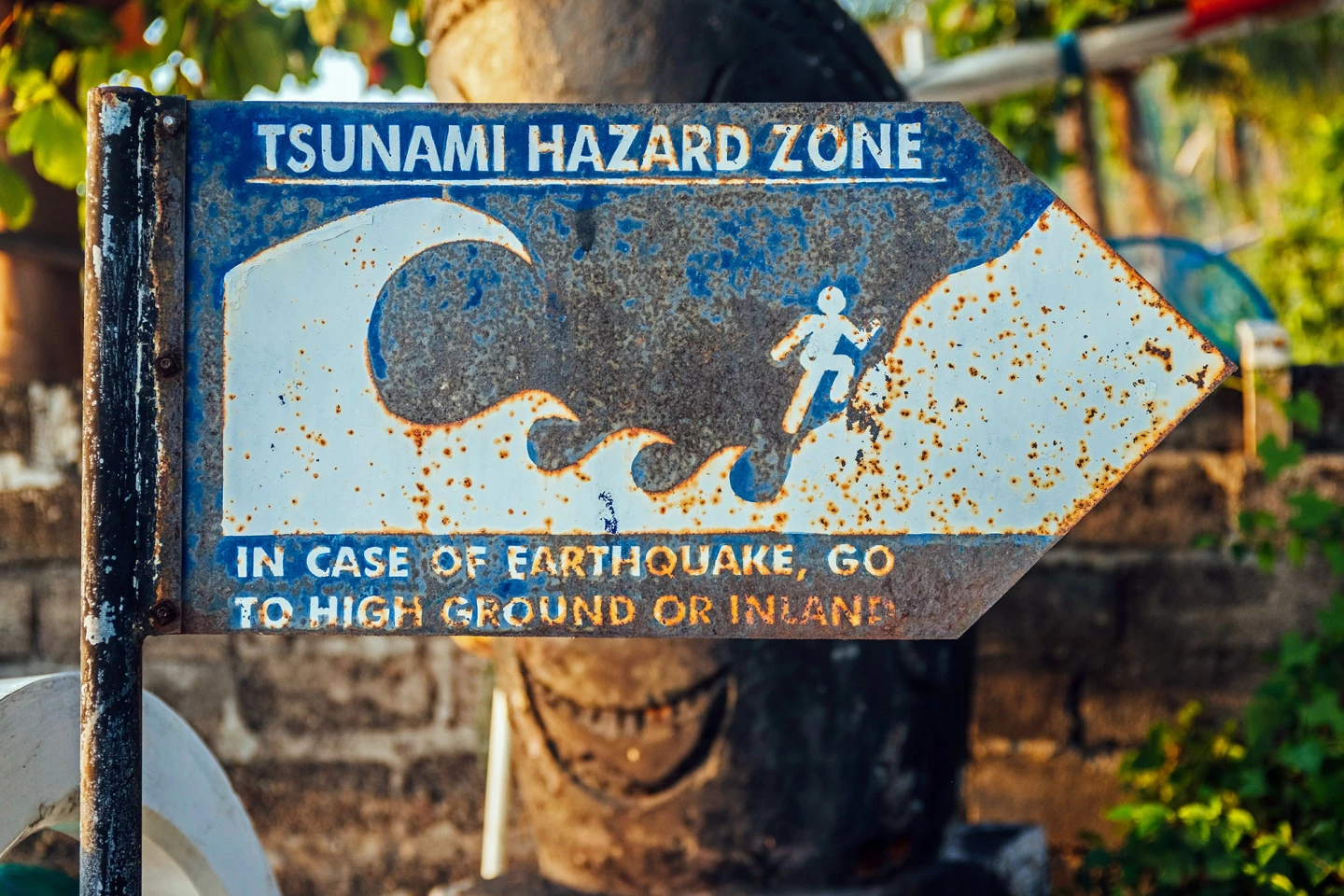
Tsunamis – from the Japanese word "tsu," meaning "harbor" and "nami," meaning "wave" – are massive waves caused by the sudden displacement of water from landslides, volcanos, earthquakes, etc. They can reach speeds over 500 mph (800 km/h) and travel across entire oceans before reaching land and causing unprecedented destruction and flooding to anything in their path.
And like the name says, megatsunamis are especially large tsunamis, generally triggered by huge chunks of falling ice, rock, or dirt into the ocean causing massive waves. Even underwater shelf collapses can cause these 500-ft (150-m) waves to strike with little warning.

Unlike normal waves that are on the surface and caused by wind, tsunamis are long waveforms that affect the entire ocean, from the surface to the sea floor as they travel along their destructive path.
The day after Christmas in 2004, a massive underwater earthquake off the coast of Sumatra, Indonesia – registering between 9.1 to 9.3 on the Richter scale, making it the third largest 'quake ever recorded – set off a tsunami with a wave measuring 167 ft (51 m) tall – nearly the height of a 17-story building – causing death and destruction to 14 neighboring countries. The tsunami reached as far as East Africa over 3,600 miles (5,900 km) away.

In 1958, in Lituya Bay, Alaska, an earthquake thought to be between 7.8 to 8.3 shook a landslide into the water so big that it was heard 50 miles (80 km) away. Trees 1,719 feet (524 m) up the mountainside across the bay were hit with salt water from the megatsunami. Since 1854, Lituya Bay has had four megatsunamis that have measured over 100 ft (30 m) tall.
Roughly 8,200 years ago, there was an event known as the Storegga slide, a huge underwater landslide located off the coast of Norway that saw about 180 miles (290 km) of coastal shelf collapse. There's evidence that shows a 65-ft (20-m) tsunami, triggered by the Storegga slide, may have wiped out a significant portion of the coastal population of what is now Britain, about 700 miles (1,100 km) away.
With global temperatures on the rise, glaciers are melting and receding, exposing unstable mud and rock below. And with the Earth's tectonic plates ever-shifting, places like Greenland are experiencing considerable megatsunamis as huge chunks of ice and earth break away and fall into the ocean from the steep coastal cliffs.
On September 16, 2023, a mass of rock the size of a football stadium suddenly broke away from about 200 ft (60 m) up, carrying debris and glacial ice over 1,000 ft (300 m) down the 40° slope before crashing into the ocean causing a splash over 650 ft (200 m) high before turning into a roughly 200-ft (60-m) tall wave 6.2 miles wide (10 km) within the Dickson Fjord in eastern Greenland.
The wave sloshed back and forth for over a week. Seismology equipment 3,106 miles (5,000 km) away felt the event as well as the aftereffects of the sloshing seiches for a week.
With technology ever improving, tsunami early warning systems have made an impact in saving lives. Companies have even gone so far as to build floating tsunami survival pods and "tsunami-proof" houses. Even AI has some skin in the game with rogue wave detection ... which technically aren't tsunamis, but the technology is there. AI has also been used to predict flood paths from these powerful waves.
Nothing tops tsunami safety more than living atop a mountain, far, far from the coast though.
Source: Geo Science World


