NASA and partners are developing backpack-sized technology for future Moon explorers that will allow them to map and navigate the lunar surface in the darkness of the high polar regions to within a centimeter without GPS.
Precision navigation is something that Earth dwellers have come to take for granted over the last 30 odd years. Satellite systems like GPS and digital mapping technologies have made us assume that we can always find accurate maps and fix our position to within a few feet at the touch of a screen.
On the Moon, things are very different. On Earth, one only worries about a return to paper maps and compasses in high, narrow mountain valleys or at the poles, but the Moon is in a far worse position.
Not only is there no GPS or other electronic navigation aids on the Moon, there isn't even a natural magnetic field, so a traditional compass is less than useless. When the later Apollo astronauts ventured out of sight of their Lunar Module base, they had to rely on a sun compass to get their initial bearings, which was a less than ideal solution.
NASA's Kinematic Navigation and Cartography Knapsack (KNaCK) is designed to change all that by not only giving future astronauts a self-contained precision navigation system that does what GPS does, but will also be able to automatically create high-precision maps of the lunar surface in real-time and in total darkness.
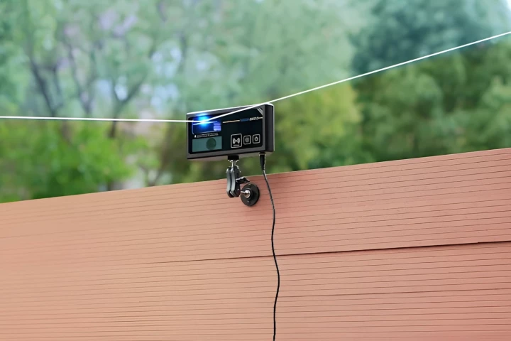
The key is a laser version of radar called Frequency Modulated Continuous Wave (FMCW) lidar. By shining this modulated laser light on the landscape, KNaCK can measure the Doppler shift of the returning signals millions of times a second and build a high-resolution 3D map.

By using a laser, KNaCK can work in complete darkness, which makes it especially useful near the lunar south pole, where the Sun never rises above the horizon more than three degrees. In such conditions, a precise navigation aid will allow astronauts and rovers to move around safely without banks of lights to show the way. In addition, such an automatic system makes up for the lack of landmarks that often make the Moon as hard to navigate or judge distances on as a rock field or a prairie.
"Basically, the sensor is a surveying tool for both navigation and science mapping, able to create ultra-high-resolution 3D maps at centimeter-level precision and give them a rich scientific context," said planetary scientist Dr. Michael Zanetti. "It also will help ensure the safety of astronauts and rover vehicles in a GPS-denied environment such as the Moon, identifying actual distances to far-off landmarks and showing explorers in real time how far they’ve come and how far is left to go to reach their destination."
KNaCk is currently undergoing field testing in New Mexico and at the dune fields at the Kennedy Space Center. Working with commercial partners, the next step will be to miniaturize the technology from the prototype's 40 lb (18 kg) until it can be installed in a rover or on an astronaut's helmet and hardened against the rigors of lunar temperatures, radiation, and low gravity.
"Taking advantage of the latest advancements in lidar technology from [commercial partner] Aeva, our next-generation space-hardened unit with support from Torch Technologies will be about the size of a soda can and could enable lunar surface operations like never before," said Zanetti.
Source: NASA