


In northwestern Greenland, researchers working on the GreenDrill project have cored through a 500-meter-thick ice dome. They found something startling: the dome completely disappeared 7,000 years ago. And it might do it again.
Nearly 80% of Greenland is covered in frozen water by the fittingly named Greenland Ice Sheet. This sheet comprises the second-largest body of water in the world, stretching over about 660,000 sq miles (1.7 million sq km), and containing roughly 0.7 million cubic miles (2.9 million cubic km) of ice, representing a significant portion of the Earth's freshwater supply.
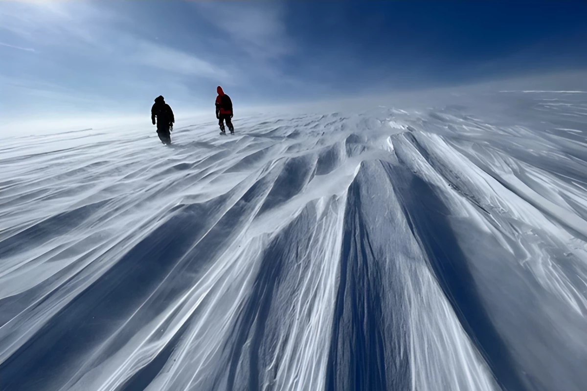
On the northwestern portion of the ice sheet, a glacial feature known as the Prudhoe Dome rises. This ice dome has formed over thousands of years, as ice that accumulated atop stable bedrock gradually flowed out to the sides. The dome isn't a dramatic feature – it only rises gently over hundreds of miles – but it's an important one because it preserves layers of climate and environmental history in its long-compressed layers.
To help understand the history of the Greenland Ice Sheet, and what implications a rapidly warming world is having on it, researchers from a range of universities including Columbia University (CU) and the University at Buffalo (UB) launched the GreenDrill Project. The goal of the initiative – a unique endeavor funded by the US National Science Foundation (NSF) – is to drill deeply through the ice sheet and into the bedrock in a range of locations, to understand how it responded to past periods of global warming.

The results of the first drilling project have just been published in the journal, Nature Geoscience.
The study details the results of analysis of core samples retrieved from 1,669 feet (509 m) below the surface during an encampment at the Dome's summit in the spring of 2023. The drill used was the Agile Sub-Ice Geological Drill developed as part of the NSF's Ice Drilling Program.
To analyze the core samples, the team employed a process known as luminescence dating. This takes advantage of the fact that, as sediment gets buried, electrons get trapped in grains of minerals. When those grains are exposed to light again, they produce a glow that can be measured, offering clues to the environment at the time the sediment was trapped.

The researchers found that the Prudhoe Dome sediment had last been exposed to daylight between 6,000 to 8,200 years ago, meaning that the entire dome would have melted to allow the sun's rays to hit that layer of sediment.
“This means Prudhoe Dome melted sometime before this period, likely during the early Holocene, when temperatures were around three to five degrees Celsius warmer than they are today," says the study’s lead author, Caleb Walcott-George, a former UB graduate student and now assistant professor at the University of Kentucky. "Some projections indicate we could reach those levels of warming at Prudhoe Dome by the year 2100.”
Game changer
Considering that the Greenland Ice Sheet contains an estimated 24 ft (7.4 m) of global sea level equivalent, it could have a serious impact on coastal communities if it melts. The Prudhoe Dome drilling experiment – which was done at the summit and along its edge – can help researchers begin to understand how the ice sheet is melting, where it might melt first, and which communities will be impacted.
“Rock and sediment from below the ice sheet tell us directly which of the ice sheet’s margins are the most vulnerable, which is critical for accurate local sea level predictions," says study co-author JOerg Schaefer from CU. "This new science field delivers this information via direct observations and is a game-changer in terms of predicting ice-melt.”

During the drilling expedition, researchers stayed in tents near Camp Century, a cold-war era base used by Army Scientists attempting to drill into the ice in order to hide nuclear missiles. As part of that project, sediment was pulled up from below, which was given to UB where it's been stored for dozens of years. That sediment eventually led to a finding in 2023 that most of Greenland's ice sheet didn't exist about 400,000 years ago. The GreenDrill project adds to that data and will contribute more information through future deep-drilling expeditions.
“When all you see is ice in all directions, to think of that ice being gone in the recent geological past and again in the future is just really humbling,” concludes Walcott-George.
Source: University at Buffalo


