One of the software packages that will guide the ESA ExoMars 2020 rover after it lands on the Red Planet has passed a major test at the space agency's Planetary Utilisation Testbed, or "Mars Yard." The exercise by the half-scale ExoMars Testing Rover (ExoTeR) in the 9 x 9-m (30 x 30-ft) rock-strewn sandbox will help the actual rover autonomously navigate Martian hazards as it seeks spots to drill two meters (6.6 ft) down in search of signs of past life.
The recent tests took place over two days at ESA's Planetary Robotics Laboratory at the European Space Research and Technology Centre (ESTEC) in the Netherlands. Under the command of the ESA robotic engineers and the France Space Agency (CNES), ExoTeR navigated the Mars Yard under autonomous control, dodging obstacles and reaching speeds of up to 2 m per minute (6.6 ft per minute). On Mars, the actual rover will only manage 100 m (330 ft) per day.
According to ESA, the AutoNav software suite is the result of 20 years of rover development, which included extensive testing of ExoTeR at the rover monitoring and control center (ALTEC) in Italy in 2017 before moving on to ESTEC in December 2018 for an algorithm upgrade.

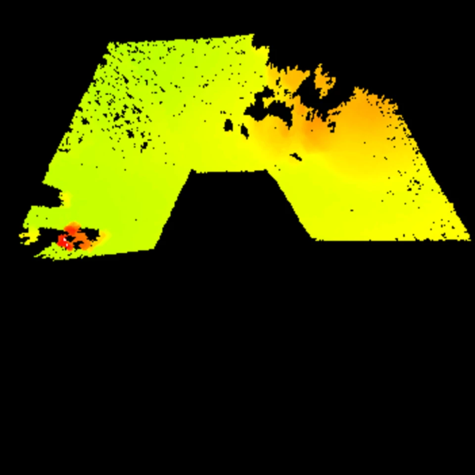
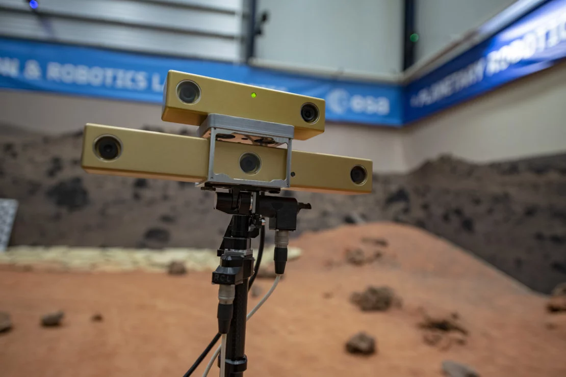
Such software is important because it can take up to 24 minutes for a radio signal to travel between Mars and Earth, so the rover needs to be able to make its own decisions. It does so with the help of a mast-mounted stereo navigation camera system for digital topographic mapping. This allows the rover to judge the distance traveled more accurately than that of counting the number of times the wheels turn, as NASA's Curiosity rover does. Since wheels slip, the rover can blunder into an obstacle without realizing that it was too close.
"Rather than sending complete hazard-free trajectories for the rover to follow, autonomous navigation allows us to send it only a target point," says ESA robotics engineer Luc Joudrier. "The rover creates a digital map of its vicinity and calculates how best to reach that target point. Looking at the map it tries to place the rover in all these adjacent locations to work out if the rover would be safe in every one of these positions – or if the rocks are too high or terrain too steep.
"Working from the local navigation map, the rover computes the safe path toward the goal and begins to move along a segment of the calculated path, at the end of the segment it repeats the same mapping process to progress.

"It is similar to a human walking. We look ahead to decide where we are going but as we walk we peer down at our feet and if necessary change course to avoid obstacles. Once we have chosen a path without obstacles, we make sure we follow that path to remain safe."
ExoTeR is scheduled to return to ALTEC to provide the control team with hands-on experience as well as improvements to its algorithms. When completed, AutoNav will be installed in the Mars rover, along with a second suite of autonomous navigation software being developed by Airbus in Britain to provide greater flexibility.
The video below shows ExoTeR going through its moves.
Source: ESA


