Environment

Google joins the effort to combat overfishing, with Global Fishing Watch

View 3 Images
Google helped develop the new tool, which aims to help tackle the problem of overfishing
The Global Fishing Watch was created by Google in partnership with marine advocacy group Oceana and mapping company SkyTruth
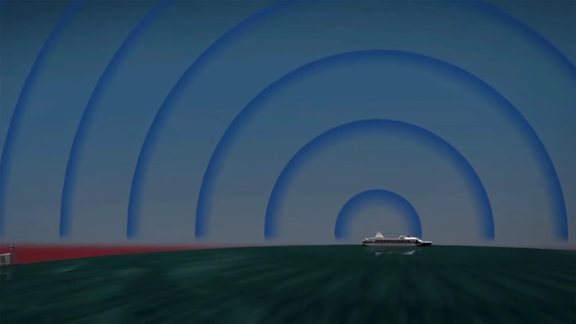
The tool makes use of Automatic Identification System (AIS) satellite location data – a tool initially designed to help avoid collisions
View gallery - 3 images

Google has partnered with SkyTruth and Oceana to produce a new tool to track global fishing activity. Known as Global Fishing Watch, the interactive web tool uses satellite data to provide detailed vessel tracking, and aims to harness the power of citizen engagement to tackle the issue of overfishing.

According to the United Nations Food and Agriculture Organization, more than 90 percent of the world’s fisheries are working at peak capacity, with as much as one-third of marine fish stocks now suffering from overfishing.

Though a clear issue, the distant and out-of-sight nature of commercial fishing creates a problem when it comes to accountability. To help combat this, Google has teamed up with marine advocacy group Oceana and mapping company SkyTruth to develop the Global Fishing Watch – a tool that allows anyone with an internet connection access to the timing and position of intensive fishing around the world.

Currently in the prototype stage, the tool makes use of Automatic Identification System (AIS) satellite location data – a tool initially designed to help avoid maritime collisions. The system analyses the movement pattern of each ship to determine whether it is indeed a fishing vessel, before plotting its activity on an interactive map.

The tool makes use of Automatic Identification System (AIS) satellite location data – a tool initially designed to help avoid collisions

While the current version of Global Fishing Watch initially plotted the activities of a whopping 111,374 ships, the team has since whittled down that number, with the initial fishing activity map containing 3,125 ships, with some 35 million data points. It shows data from 2013-14, and includes ships that the team has independently verified as fishing vessels.

The tool shows users the number of hours that individual ships spent fishing certain areas, and allows almost anyone to explore global fishing activity. Users can filter data by country, and can even look at the route taken by individual vessels, with a data point being created every time a ship sets and retrieves its lines.

In the long run, it provides fisherman and companies with an opportunity to illustrate that they’re obeying the law in regard to overfishing. It will also likely prove a useful tool for researchers, who will be able to access a comprehensive database of global fishing activity, with data spanning back for years.

For a closer look at the project, check out the video below.

Source: Global Fishing Watch

View gallery - 3 images
  • Facebook
  • Twitter
  • Flipboard
  • LinkedIn
8 comments
b@man
We don't need another marxist anti-capitalist movement destroying free enterprise.
zevulon
the all seeing eye uses 'over-fishing' as a pretty excuse for developing and selling these technologies that are obviously going to be used by the coast guards and military for tracking .
they are watching you.... even in the deep ocean.... and soon, by way of the internet of things, they'll be watching you in your house.
Mous
This is a good deal. Finally a worthwhile use of surveillance. I doubt the crews will be held accountable, but the companies and boat owners will, and this software will identify them. Coast guards will notify the owners to stay out of conservation areas, owners will notify the crews. Then if warnings are ignored, the owners are fined. If they persist, the boats are impounded.
Joel Detrow
Like it or not, zevulon, the technology exists and will be used. It's up to you to keep your government from abusing it.
rude.dawg
I wonder if this will be able to track "fishing" boats from large authoritarian states that encourage their "fishermen" to sail across international waters and illegally poach protected marine life inside other countries' Exclusive Economic Zones?
StWils
B@dman does not understand that "free enterprise" does not somehow empower anyone to do whatever they please anytime, anywhere. Even when Adam Smith wrote The Wealth of Nations, he and others, saw that businesses needed to be held accountable for their impact on society. These lessons go way over the heads of the little minds on the far conservative right.
This technology is being applied to the top end of the ocean food chain where we fish. We need to also use it to study the bottom end where the algae and krill are. Maybe we can help boost production at the bottom end of the food chain? Given the pace of fishing it is high time we tried to assist nature more broadly.
This is a great opportunity for interaction between sensing systems and analysis software to yield strongly leveraged results for all to see.
Ben Fitzpatrick
This is awesome! But how will this system capture data on the thousands of unmarked fishing vessels poaching fish from international and unpatrolled national waters? It won't...
nutcase
If the human population continues to grow at the current rate then B@dman's greedy friends will inexorably remove every last edible fish from the ocean along with the mountain of bycatch that goes with them. This technology dramatically gives you the chance to watch it happen. It is clear that zevulon has never been at sea or he would understand the comfort of knowing that Big Brother is watching. Such a luxury never existed in the days of sail, and everywhere the coast is littered with the ships that perished wishing for Big Brother.