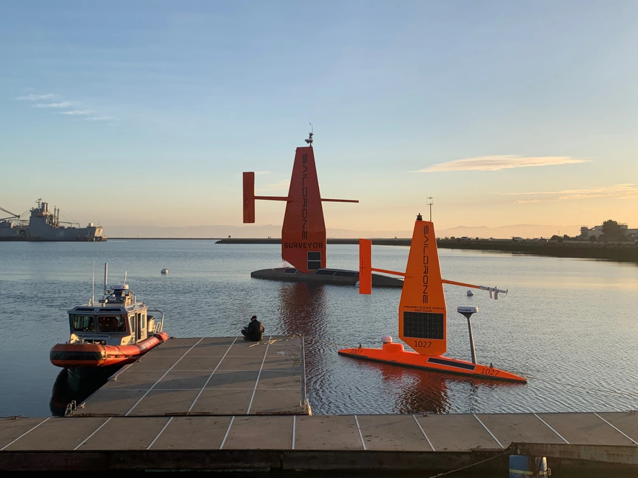
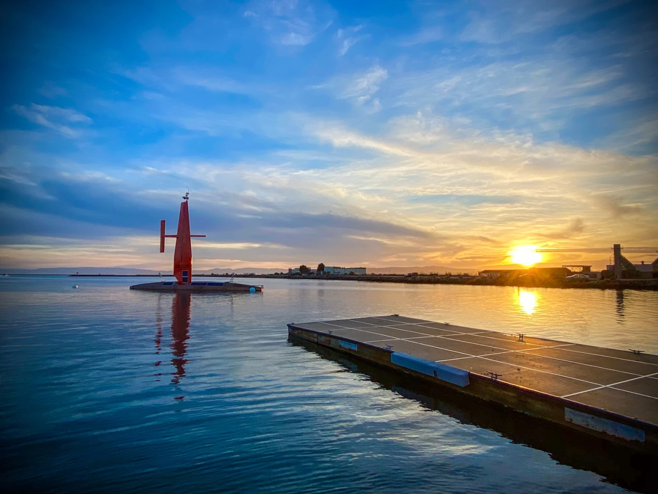
Alameda-based aquatic drone-maker Saildrone has returned with a bigger and better version of its unmanned vehicle designed to explore the seas. The newly introduced 72-ft (22-m) Saildrone Surveyor is equipped with the hardware needed to map the seafloor of the deep ocean, with the drone hoped to help fill in some of the massive gaps in our understanding of the marine environment.
We first caught wind of Saildrone and its 23-ft (7-m) unmanned surface vehicles back in 2018, when the company entered an agreement with an Australian research team to use them to explore the Southern Ocean. These Saildrones are propelled by the wind, but use solar energy to power onboard electronics, such as navigation systems and marine and atmospheric sensors.

This combination allows Saildrones to remain at sea for up to 12 months at a time, either operating autonomously or while controlled remotely from shore, with these capabilities lending themselves well to extended surveying missions that gather long-term environmental data. This could include measuring ocean carbon or analyzing biomass in the water column.
The Saildrone Surveyor is designed to do all this, but places an emphasis on mapping the seafloor, of which we've charted only about 20 percent. This is an objective that has come into focus in recent years, with researchers producing detailed new maps, turning to stingrays to survey the depths and developing autonomous mapping vessels that can help us understanding what lies at the bottom of the ocean.
The Saildrone Surveyor carries the sonar equipment necessary for seafloor mapping to depths of 7,000 m (23,000 ft), and will also collect DNA samples from the water column so researchers can investigate the organisms that call it home.

"We are excited to see the launch of the Saildrone Surveyor," said Alan Leonardi, director of the NOAA Office of Ocean Exploration and Research. “NOAA is supporting the development and testing of this new uncrewed system because we are confident it will expand the capability of our existing fleet of ships to help us accelerate in a cost-effective way our mission to map, characterize and explore our nation’s deep ocean territory, monitor valuable fisheries and other marine resources, and provide information to unleash the potential of our nation’s Blue Economy.”
Saildrone says its fleet of unmanned vehicles has logged more than 10,000 days at sea so far, proving their worth as tools for science, mapping and maritime security. Wired reports that the first trials of the Saildrone Surveyor will kick off this week, and a mission between San Francisco and Hawaii will follow.
You can check out the Saildrone Surveyor launch video below.
Source: Saildrone


