Location
-
We naturally pick up microorganisms as we move about the world. Now, researchers have developed an AI tool that accurately links you to a particular location using a sample of the bugs you’ve collected on your travels – like a bacterial satellite navigation system.
-
Due to factors such as murky water and limited peripheral vision, it can be hard for scuba divers to keep track of where their fellow divers are at all times. A newly developed smartwatch app, however, may soon make it much easier for them to do so.
-
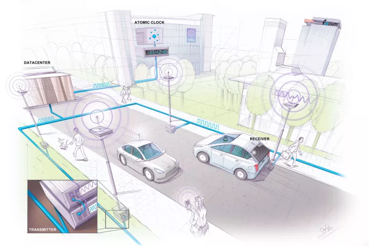
GPS has its limitations in urban areas where signals can get noisy. Now, engineers in the Netherlands have developed “SuperGPS” – a hybrid positioning system that combines wireless and optical connections to pinpoint locations within centimeters.
-
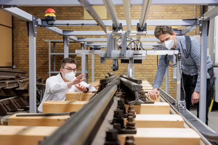
If you want to maximize the number of trains that can operate on one line simultaneously, it's crucial that you know the exact location of each train at all times. A new system is designed to help, by analyzing the magnetic properties of the rails.
-
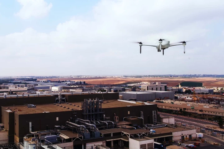
If you hear gunshots in an urban setting, it's important to get the police to their source as quickly as possible. A new system is being developed to help, by combining autonomous drones with an existing shot-locating technology.
-
Sandia National Laboratories is developing an avocado-sized vacuum chamber made out of titanium and sapphire that could one day use quantum mechanical sensors to provide GPS-grade navigation without the need for satellites.
-
BAE Systems has developed the world's smallest, lightest, and most power-efficient military M-Code GPS receiver. About the size of a postage stamp, the MicroGRAMTM-M can be installed in handheld devices and is resistant to jamming and spoofing.
-
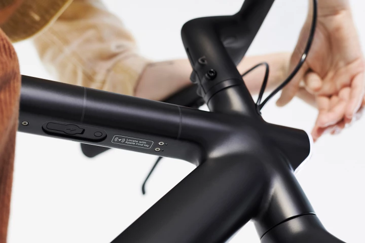
If you misplace your iPhone, or someone makes off with it, Apple's Find My network can help zero in on its location so you can retrieve it. Now the application has been opened up to third-party products, and among the first are ebikes from VanMoof.
-
A new prototype Companion Collar smart collar is being developed by the CSIRO's digital specialist arm, Data61, and agtech company Ceres Tag that will allow pet owners to track their animal across both long and short distances.
-
Google has released a series of COVID-19 Community Mobility Maps, utilizing location history data from users around the world to present insights into how social distancing measures are changing the way people move around local communities.
-
Increasingly often, when mass shootings occur, bystanders are recording videos on their smartphones. Thanks to a new system, such footage could soon be used to determine the killer's whereabouts.
-
In order for AR systems to recognize locations from a user's ground-level perspective, they first have to be "trained" using ground-level images of those same places. Sturfee's City AR system, however, works quicker by utilizing satellite photos.
Load More


