Maps
-
 New York City plans to replace the maps in its subway stations with touch screen displays that will provide simple directions and real-time service alerts.
 -
 Google Maps for iOS is set to release anytime now.
 -
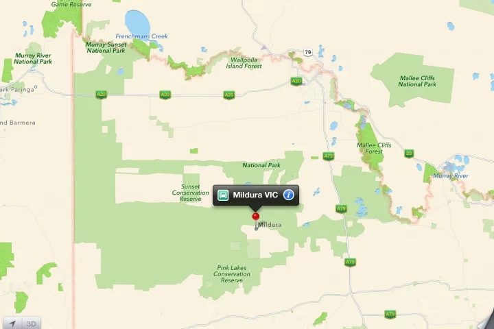 After a number of motorists using Apple Maps for directions to the town of Mildura became stranded, the police in Victoria, Australia, have warned against relying on the iOS 6 app.
 -
 Apple's new maps application is failing to live up to the quality users have become used to after Google Maps.
 -
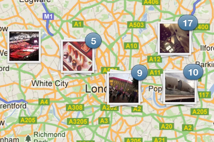 By adding maps, popular mobile photo-sharing app Instagram has received perhaps its most significant release since launch when version 3.0 hit app stores today.
 -
 Navatar is an experimental smartphone-based system, that allows the visually impaired to navigate within buildings.
 -
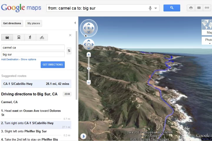 Google has added a Helicopter View to Google Maps that provides a 3D aerial view of a recommended route.
 -
 Pro-Form's Le Tour de France Indoor Cycle replicates riding on routes selected via Google Maps, simulating the area's incline or decline by tilting the riding platform.
 -
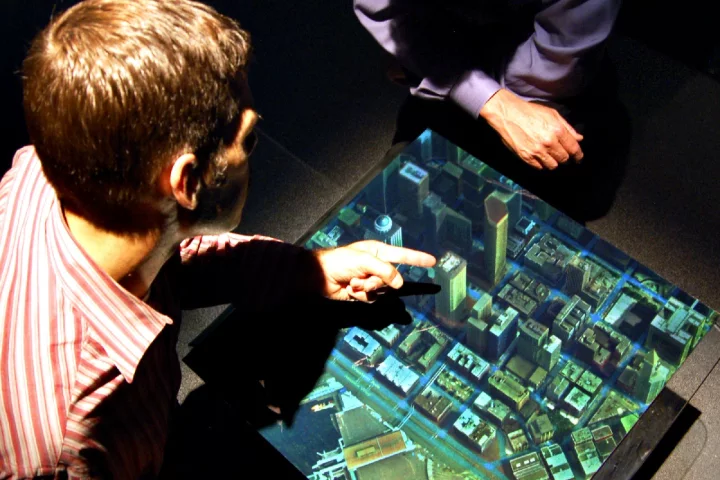 Zebra Imaging creates lifelike 3D holographic visualizations in a format that can be rolled up and annotated, and transported around.
 -
 The Cobra 7750 Platinum navigator has a 7" screen and 33,000 points of interest for truckers
 -
 For its first foray into the U.S. in-dash car navigation system market Sony has teamed up with TomTom, whose map database will come preloaded on the 6.1-inch XNV-660BT and 7-inch XNV-770BT in-dash units.
 -
 Nokia’s new Own Voice for Ovi Maps lets users record their own driving instructions and share them with family, friends and soon to be former friends.
Load More