Though some folks chase storms for the thrill, and others out of curiosity, there are also those who pursue severe weather events for scientific purposes. And it's the lattermost pursuit that will see a small fleet of unmanned surface vehicles deliberately head into hurricane territory.
San Francisco's Saildrone first blipped on our radar back in 2018, when Australian research agency CSIRO made use of a trio of the 23-ft-long (7-m), sensor-packed Explorer vessels to explore the Southern Ocean. Earlier this year, a much bigger sibling called Saildrone Surveyor was added to the fleet – with the 72-ft (22-m) drone tasked with mapping the sea floor of the deep ocean.
Both Saildrones are propelled by the wind, with the energy needed to power onboard electronics coming from solar panels. They can operate by remote control or autonomously along prescribed waypoints, and can remain on mission for up to 12 months at a time. The company offers the vessels as MAAS (Mission-as-a-Service) or DAAS (Data-as-a-Service) solutions, and they've already logged over 500,000 nautical miles in the Arctic, Antarctica, Pacific, Atlantic, and coastal areas.
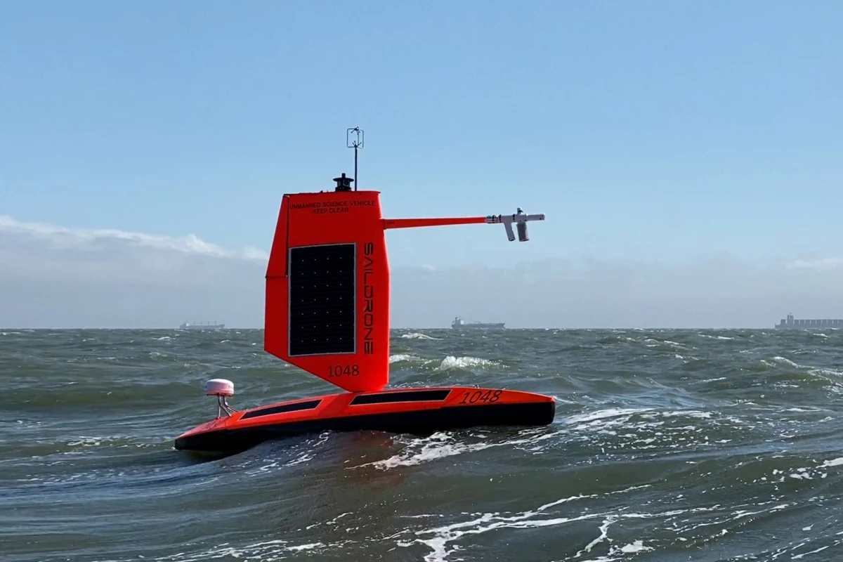
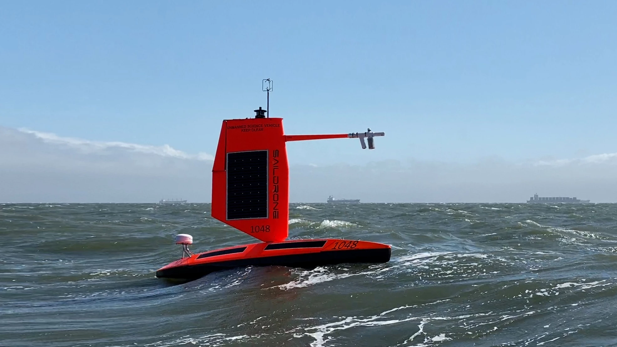
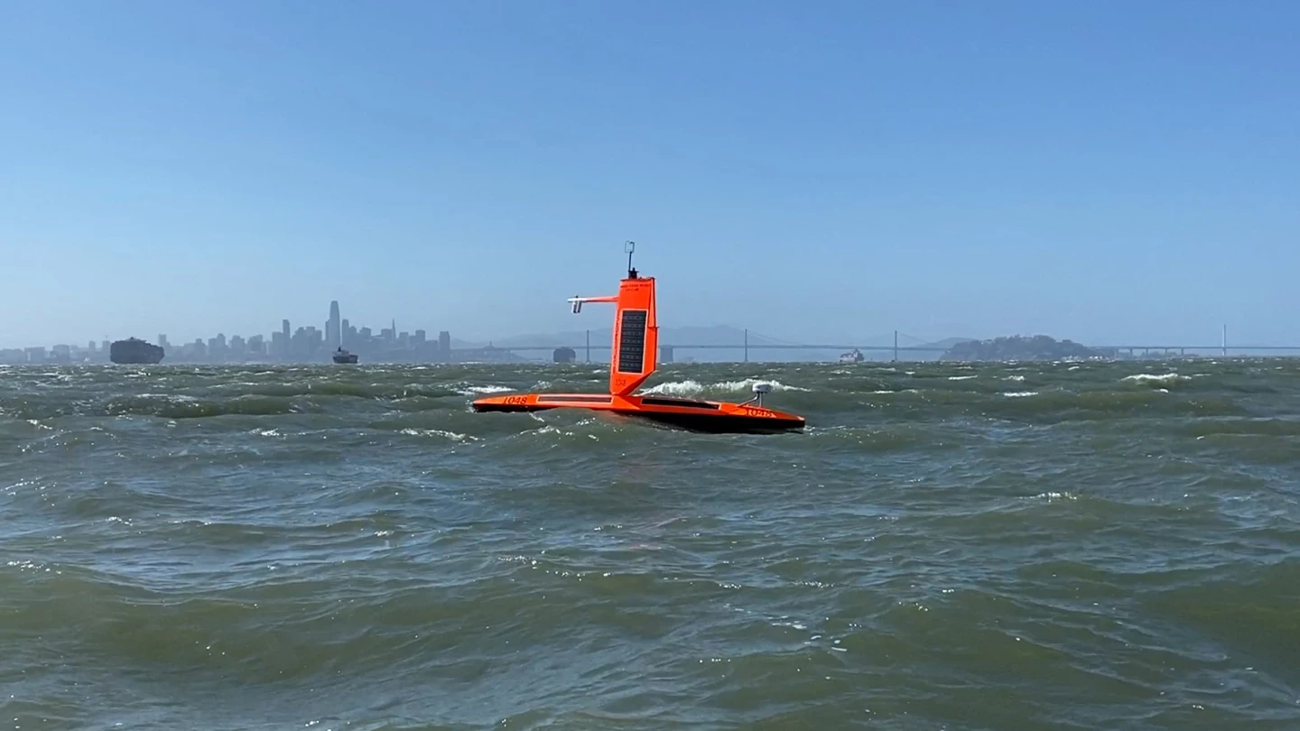
This latest iteration will be sent on a fact-finding mission to the Atlantic during hurricane season. But instead of trying to gather data from afar, these five intrepid Saildrones will head straight for hurricane weather systems, where they will likely encounter winds of more than 70 mph (110 km/h) and waves over 10 ft (3 m), in order to provide researchers with the real-time observations needed to construct more accurate prediction models.
Members of the small fleet of Saildrone Explorers have been equipped with ruggedized 16.5-ft (5-m) "hurricane wings" to keep them operational as they head into the very heart of the hurricanes. This follows five months of testing and tweaking during winter storms in the North Pacific.
"The new hurricane wing is a game-changer for the collection of in situ data in the most extreme weather conditions on Earth," said Saildrone founder and CEO, Richard Jenkins. "Saildrone will be able to go where no scientific vessel has ever ventured, right into the eye of the hurricane, and gather data that could make communities around the world safer from these destructive storms."
It's reckoned that in addition to being a serious threat to human safety, hurricanes can cause around US$54 billion worth of property damage in coastal areas of the United States. It is hoped that the storm-chaser mission will help improve forecasting.
Data such as air temperature, relative humidity, biometric pressure, wind speed and direction, water temperature and salinity, sea surface temperature, and wave height and period will be transmitted in real time to scientists at the National Oceanic and Atmospheric Administration (NOAA)’s Pacific Marine Environmental Laboratory (PMEL) and Atlantic Oceanographic and Meteorological Laboratory.
The data will also be made available to folks at the National Weather Service, the National Environmental Satellite, Data and Information Service, and others.
"The biggest gap in our understanding of hurricanes are the processes by which they intensify so quickly, as well as the ability to accurately predict how strong they will become," NOAA's Dr. Jun Zhang explained. "We know that the exchange of heat between the ocean and the atmosphere is one of the key physical processes providing energy to a storm, but to improve understanding, we need to collect in situ observations during a storm. Of course, that is extremely difficult given the danger of these storms. We hope that data collected with Saildrones will help us to improve the model physics, and then, in turn, we will be able to improve hurricane intensity forecasts."
The five Saildrones will launch from the US Virgin Islands in August and then stationed in areas that have seen a large number of storms in the past. Scientists intend to pilot the vessels into a number of hurricanes, and the mission will gather data throughout the 2021 Tropical Atlantic hurricane season. It's expected that this outing will form the basis for larger fleets to be deployed in the future.
Source: Saildrone

