




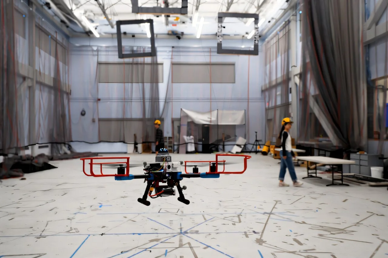

Disaster zones are terrible places to follow a preplanned route. Maps can be incomplete, debris can move, and the next hazard may arrive from any direction at any time. MIT’s new navigation system builds a safe flight corridor around the possible future movements of hazards, helping a drone avoid collisions even without a prior map.
Called SANDO, the system plans routes through unfamiliar surroundings with a mathematical guarantee of collision avoidance, provided its operating assumptions hold. It does not need to know where obstacles are headed, only a reliable upper limit on how fast they can move. "The only thing the planner needs to know is the top speed the obstacles could reach," says Kota Kondo, who recently earned his doctorate in aeronautics and astronautics at MIT.
Kondo’s interest in disaster-response robotics traces back to the Fukushima nuclear disaster in Japan. "I remember watching the response at the nuclear site and thinking, why do humans have to get so close? Is there another way to handle this situation?” he says, lead author on the study published in IEEE Transactions on Robotics. "That really stuck with me."
Flight planners use a drone’s cameras and sensors to work out a route to its destination. According to MIT, many existing systems offer formal safety guarantees only when obstacles are stationary or known beforehand. Others dodge moving objects without mathematically guaranteeing that a collision won’t happen.
SANDO’s approach is to plan around possibilities rather than bet on a single prediction. The system detects, groups, and tracks moving obstacles, then surrounds each with a virtual sphere representing how far it could travel in any direction over a given time. The further ahead the planner looks, the larger that sphere becomes.
Think of a distracted pedestrian. Rather than assume they’ll keep walking straight, the planner leaves room for every position they could reach within their speed limit.
Around these expanding buffers, SANDO constructs a safety corridor, a chain of connected, obstacle-free regions of three-dimensional space. Because the corridor changes with time, it accounts for hazards that could move into the drone’s path after the route is first calculated. "But because we consider this time component, we can now guarantee safety into the future," Kondo says.
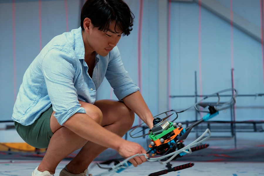
A separate heat-map planner flags areas crowded with obstacles and steers the drone toward less congested routes. Inside the safety corridor, SANDO calculates the fastest trajectory, continually updating both the corridor and flight path using the onboard computer.
In simulations, SANDO reached its destination faster than several state-of-the-art comparison systems while avoiding collisions in every environment tested, according to MIT. It also avoided all moving obstacles across 12 flights with a real drone.
Those results support the approach, but 12 successful flights aren’t proof of readiness for every disaster scenario. The mathematical guarantee also depends on the obstacle-speed bound holding true. An object moving faster than that limit would fall outside the guarantee described by the researchers.
Next steps could include reducing the computational workload and connecting SANDO to machine-learning systems that accept plain-language instructions. In the accompanying video (above), Kondo also describes an ambition to coordinate multiple drones, sharing observations and dividing search tasks.
The goal is more than keeping one aircraft intact. If it proves reliable beyond the lab, SANDO could help rescuers search dangerous places faster without entering them first – and could also guide drones through collapsed buildings, mine tunnels, or crowded neighborhoods.
Source: MIT


