
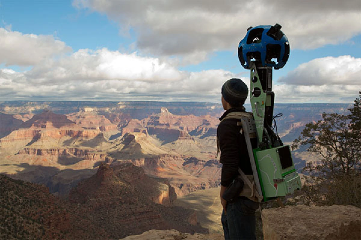


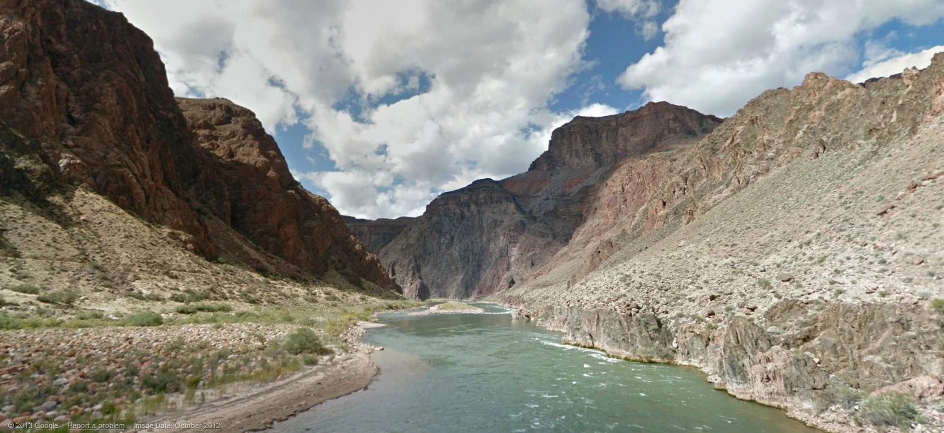
In recent months, Google Maps has ramped up its cartographical efforts to provide more detailed maps of North Korea and take users to more exotic locations like snow-covered mountains and underwater coral reefs via Street View. Now thanks to the Trekker, Google's own backpack-mounted camera system, users can explore stunning 360-degree panoramic images on a virtual hike through the Grand Canyon.
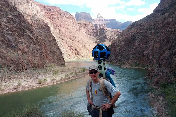
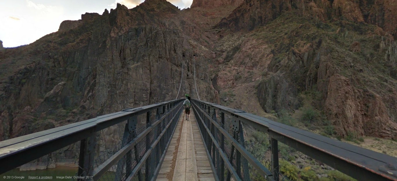
A team of five people outfitted with Trekkers and accompanied by ten Google engineers walked the trails of the majestic canyon and gathered images over a period of three days. Another company called Nature Valley Trail View mounted a similar expedition using its own 360-degree camera system last year, but Google plans to incorporate the recent images into Google Maps' global service.
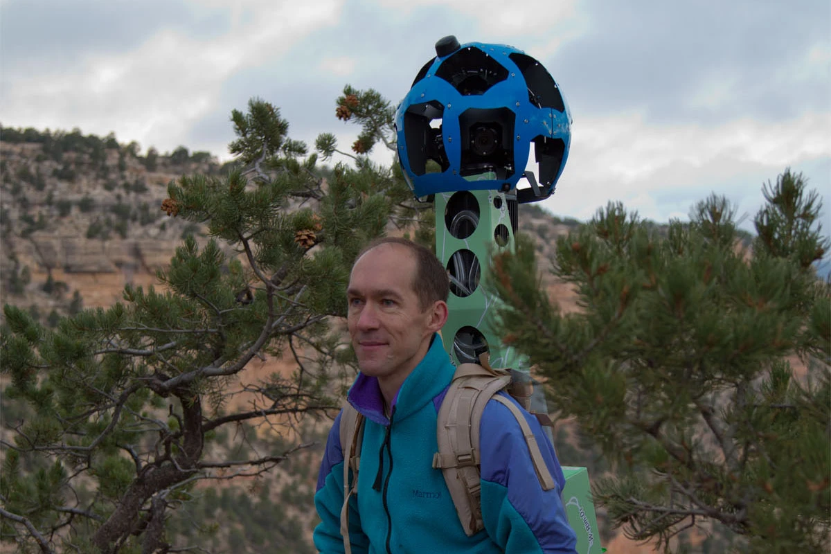
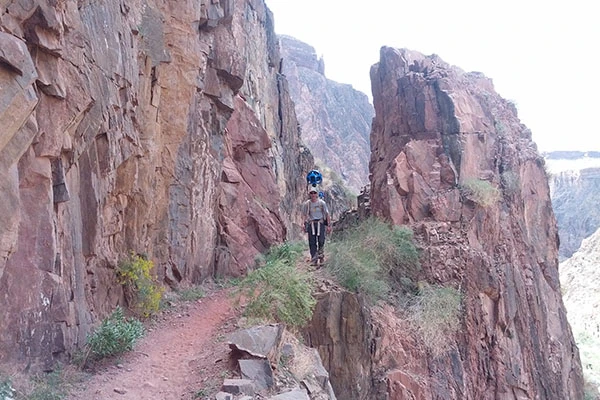
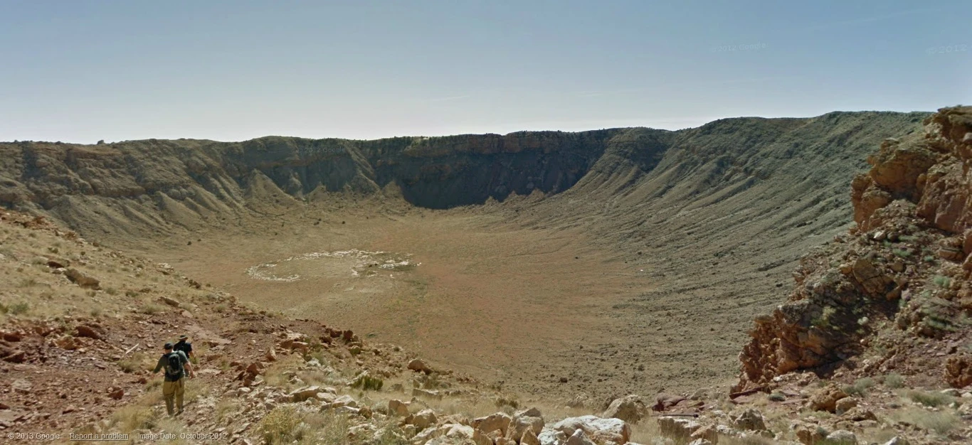
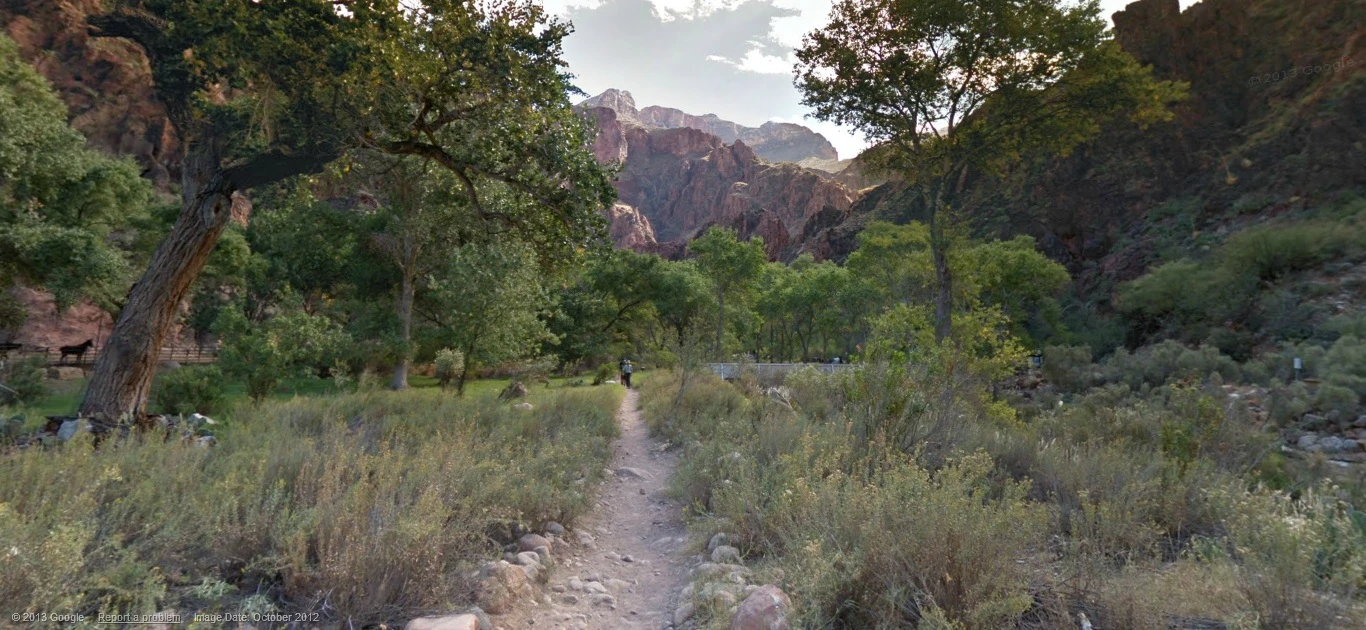
Each Trekker uses 15 cameras connected to an Android device to capture full 360-degree panoramic shots of the scenic views around the wearer. In total, the team took 9,500 panoramas, which covered 75 miles (121 km) of paths in and around Grand Canyon National Park. The team also recorded some well-known trails and landmarks in the area, including the Bright Angel Trail, South Kaibab Trail, Phantom Ranch, South Rim Trail, and Meteor Crater.
The beautiful scenery the team saw is now available to view in Street View, letting users explore the same trails from the comfort of their computer desk. Google hopes to capture more environments that are only accessible on foot in a similar fashion in the future, from thick forests to ancient castles.
You can explore the Grand Canyon on Street View yourself or watch the video below to get an idea of what to expect.
Source: Google


